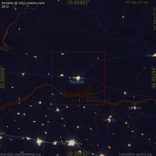
Iturama night lights from space
Night Light of Iturama (Minas Gerais) from space (Brazil) Src. Average luminocity for 10x10km area is 20.8657% and for 50x50km: 1.1806%.
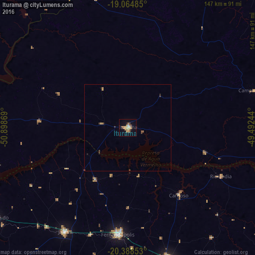
Analysis of Iturama night lights 2016
Square area 10x10 km:
 0.62%
0.62%90-99
2.07%80-89
4.13%70-79
7.23%60-69
4.13%50-59
0.83%40-49
2.48%30-39
0%20-29
2.48%10-19
6.4%0-9
69.63%Square area 50x50 km:
0.02%90-99
0.08%80-89
0.19%70-79
0.36%60-69
0.22%50-59
0.09%40-49
0.28%30-39
0.04%20-29
0.16%10-19
0.35%0-9
98.21%Clear (daylight) street map image can be seen on geolist.org.
Map coordinates:
19° 3' 53.5" South, 50° 53' 55.3" West
19° 43' 41" South, 50° 11' 44" West
20° 23' 18.7" South, 49° 29' 32.8" West
Some cities around Iturama sort by population:
• Votuporanga
80.7 km =50.1 mi,  163°
163°
• Fernandópolis
62 km =38.5 mi,  184°
184°
• Jales
70.4 km =43.7 mi,  211°
211°
• Santa Fé do Sul
93.3 km =58 mi,  234°
234°
• Campina Verde
77 km =47.8 mi,  74°
74°
• Santa Vitória
99.2 km =61.6 mi,  4°
4°
• Riolândia
60.6 km =37.7 mi,  117°
117°
• Cardoso
49.1 km =30.5 mi,  143°
143°
3460513 (p: 29,805)
Sources (retrieved 2019-11-25):
» Earth at Night: Flat Maps 2012, 2016