Ituiutaba night lights from space
Night Light of Ituiutaba (Minas Gerais) from space (Brazil) Src. Average luminocity for 10x10km area is 52.4567% and for 50x50km: 2.596%.
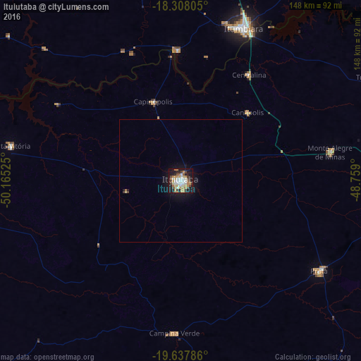
Analysis of Ituiutaba night lights 2016
Square area 10x10 km:
 9.52%
9.52%90-99
11.69%80-89
4.76%70-79
13.85%60-69
7.36%50-59
3.03%40-49
6.28%30-39
4.55%20-29
8.87%10-19
28.57%0-9
1.52%Square area 50x50 km:
0.36%90-99
0.44%80-89
0.21%70-79
0.57%60-69
0.31%50-59
0.13%40-49
0.27%30-39
0.23%20-29
0.4%10-19
2.71%0-9
94.35%Clear (daylight) street map image can be seen on geolist.org.
Map coordinates:
18° 18' 29" South, 50° 9' 54.9" West
18° 58' 27.4" South, 49° 27' 43.6" West
19° 38' 16.3" South, 48° 45' 32.4" West
Some cities around Ituiutaba sort by population:
• Itumbiara
67 km =41.6 mi,  22°
22°
• Tupaciguara
90.3 km =56.1 mi,  61°
61°
• Prata
67.6 km =42 mi,  123°
123°
• Campina Verde
62.7 km =39 mi,  182°
182°
• Capinópolis
34.4 km =21.4 mi,  340°
340°
• Monte Alegre de Minas
62.2 km =38.6 mi,  79°
79°
• Santa Vitória
71 km =44.1 mi,  282°
282°
• Centralina
51.5 km =32 mi,  32°
32°
3460523 (p: 85,345)
Sources (retrieved 2019-11-25):
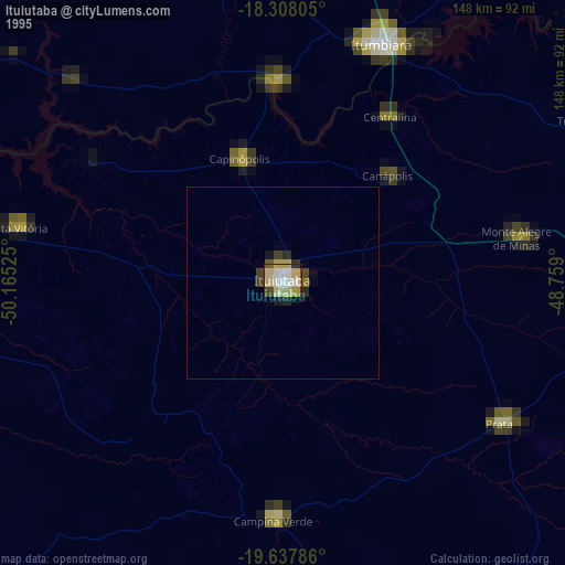
» NASA, Earths city lights 1995
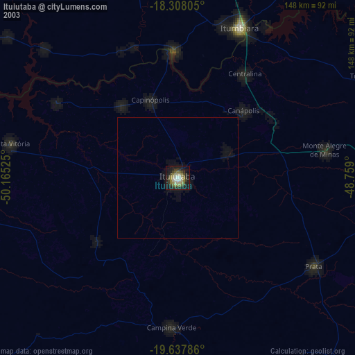
» NASA city lights 2003
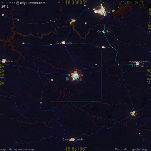
» Earth at Night: Flat Maps 2012, 2016