Itumbiara night lights from space
Night Light of Itumbiara (Goiás) from space (Brazil) Src. Average luminocity for 10x10km area is 55.1446% and for 50x50km: 3.8765%.
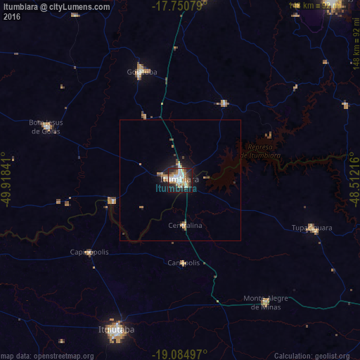
Analysis of Itumbiara night lights 2016
Square area 10x10 km:
 14.46%
90-99
13.22%80-89
3.31%70-79
9.71%60-69
7.02%50-59
2.07%40-49
8.88%30-39
2.89%20-29
17.36%10-19
20.25%0-9
0.83%Square area 50x50 km:
0.62%90-99
0.65%80-89
0.18%70-79
0.76%60-69
0.56%50-59
0.19%40-49
0.63%30-39
0.36%20-29
0.96%10-19
3.17%0-9
91.93%Clear (daylight) street map image can be seen on geolist.org.
Map coordinates:
17° 45' 2.8" South, 49° 55' 6.3" West
18° 25' 9" South, 49° 12' 55" West
19° 5' 5.9" South, 48° 30' 43.8" West
Some cities around Itumbiara sort by population:
• Ituiutaba
67 km =41.6 mi,  202°
202°
• Morrinhos
77.5 km =48.2 mi,  9°
9°
• Goiatuba
47.6 km =29.6 mi,  341°
341°
• Tupaciguara
57.1 km =35.5 mi,  109°
109°
• Capinópolis
47.4 km =29.5 mi,  231°
231°
• Monte Alegre de Minas
61.3 km =38.1 mi,  144°
144°
• Centralina
18.4 km =11.4 mi,  174°
174°
• Buriti Alegre
36.1 km =22.4 mi,  30°
30°
3460522 (p: 79,582)
Sources (retrieved 2019-11-25):
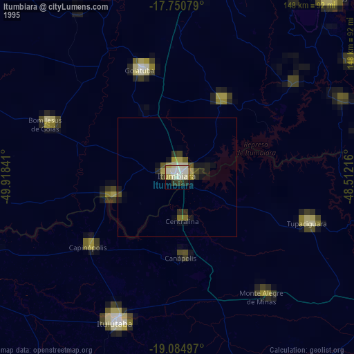
» NASA, Earths city lights 1995
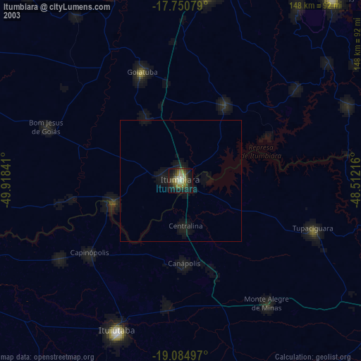
» NASA city lights 2003
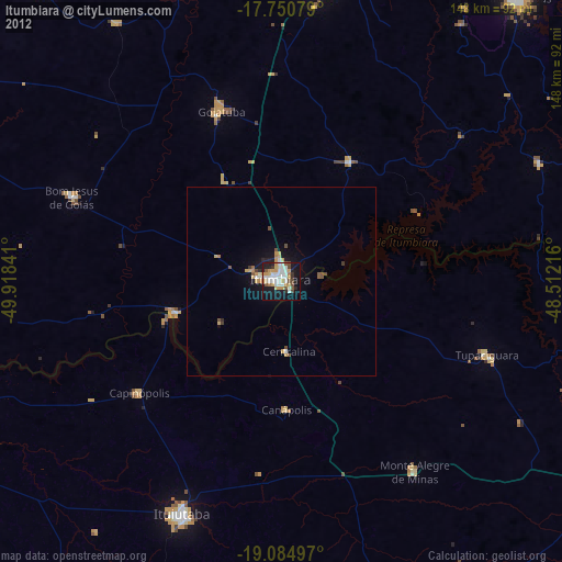
» Earth at Night: Flat Maps 2012, 2016