Quirinópolis night lights from space
Night Light of Quirinópolis (Goiás) from space (Brazil) Src. Average luminocity for 10x10km area is 25.686% and for 50x50km: 1.3358%.
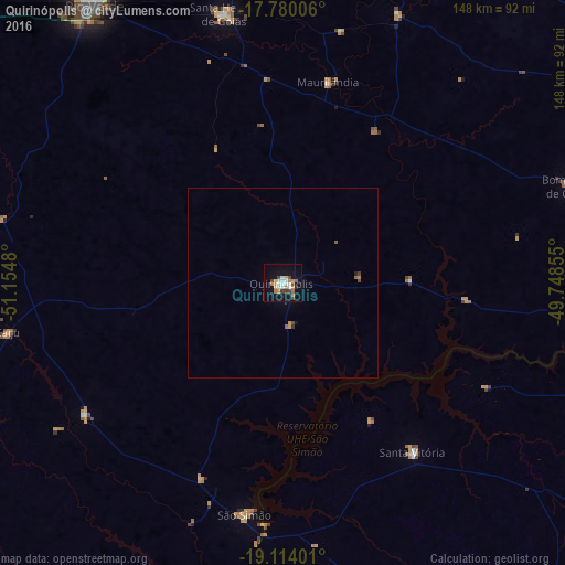
Analysis of Quirinópolis night lights 2016
Square area 10x10 km:
 4.34%
4.34%90-99
4.75%80-89
2.48%70-79
4.34%60-69
3.93%50-59
0.83%40-49
4.13%30-39
2.48%20-29
0.83%10-19
22.11%0-9
49.79%Square area 50x50 km:
0.17%90-99
0.19%80-89
0.1%70-79
0.24%60-69
0.19%50-59
0.13%40-49
0.24%30-39
0.15%20-29
0.06%10-19
0.9%0-9
97.64%Clear (daylight) street map image can be seen on geolist.org.
Map coordinates:
17° 46' 48.2" South, 51° 9' 17.3" West
18° 26' 54" South, 50° 27' 6" West
19° 6' 50.4" South, 49° 44' 54.8" West
Some cities around Quirinópolis sort by population:
• Rio Verde
88.1 km =54.7 mi,  325°
325°
• Ituiutaba
119.5 km =74.3 mi,  119°
119°
• Itumbiara
130.5 km =81.1 mi,  88°
88°
• Santa Helena de Goiás
72.2 km =44.9 mi,  347°
347°
• Goiatuba
125.6 km =78 mi,  67°
67°
• Capinópolis
96.5 km =60 mi,  105°
105°
• Santa Vitória
55.6 km =34.5 mi,  141°
141°
• Caçu
72.6 km =45.1 mi,  260°
260°
3451931 (p: 32,104)
Sources (retrieved 2019-11-25):
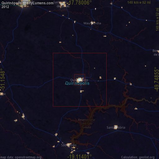
» Earth at Night: Flat Maps 2012, 2016