Santa Maria da Vitória night lights from space
Night Light of Santa Maria da Vitória (Bahia) from space (Brazil) Src. Average luminocity for 10x10km area is 21.531% and for 50x50km: 1.1595%.
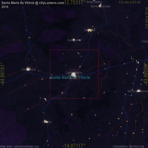
Analysis of Santa Maria da Vitória night lights 2016
Square area 10x10 km:
 4.96%
4.96%90-99
4.13%80-89
1.65%70-79
0.83%60-69
0%50-59
7.44%40-49
2.07%30-39
0.62%20-29
0.62%10-19
11.36%0-9
66.32%Square area 50x50 km:
0.2%90-99
0.17%80-89
0.07%70-79
0.03%60-69
0.03%50-59
0.46%40-49
0.12%30-39
0.21%20-29
0.07%10-19
0.45%0-9
98.19%Clear (daylight) street map image can be seen on geolist.org.
Map coordinates:
12° 42' 11.4" South, 44° 54' 6.5" West
13° 23' 17.3" South, 44° 11' 55.2" West
14° 4' 16.2" South, 43° 29' 44" West
Some cities around Santa Maria da Vitória sort by population:
• Bom Jesus da Lapa
85.7 km =53.3 mi,  80°
80°
• Correntina
47.6 km =29.6 mi,  276°
276°
• Riacho de Santana
138.4 km =86 mi,  100°
100°
• Manga
154.8 km =96.2 mi,  169°
169°
• Carinhanha
112.2 km =69.7 mi,  155°
155°
• Paratinga
134.5 km =83.6 mi,  54°
54°
• São Desidério
141.5 km =87.9 mi,  323°
323°
• Palmas de Monte Alto
148.6 km =92.3 mi,  131°
131°
3450063 (p: 23,488)
Sources (retrieved 2019-11-25):
» Earth at Night: Flat Maps 2012, 2016