Correntina night lights from space
Night Light of Correntina (Bahia) from space (Brazil) Src. Average luminocity for 10x10km area is 9.4773% and for 50x50km: 0.5244%.
Analysis of Correntina night lights 2016
Square area 10x10 km:
 1.03%
1.03%90-99
2.89%80-89
1.65%70-79
0.21%60-69
0%50-59
1.45%40-49
2.69%30-39
0.83%20-29
0%10-19
0%0-9
89.26%Square area 50x50 km:
0.04%90-99
0.12%80-89
0.07%70-79
0.04%60-69
0%50-59
0.09%40-49
0.21%30-39
0.06%20-29
0.07%10-19
0.03%0-9
99.27%Clear (daylight) street map image can be seen on geolist.org.
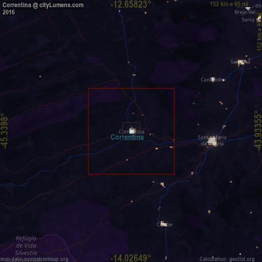
Map coordinates:
12° 39' 29.6" South, 45° 20' 23.3" West
13° 20' 36" South, 44° 38' 12" West
14° 1' 35.4" South, 43° 56' 0.8" West
Some cities around Correntina sort by population:
• Barreiras
137.8 km =85.6 mi,  343°
343°
• Bom Jesus da Lapa
132.2 km =82.1 mi,  85°
85°
• Santa Maria da Vitória
47.6 km =29.6 mi,  96°
96°
• Manga
174.5 km =108.4 mi,  154°
154°
• Carinhanha
142.4 km =88.5 mi,  138°
138°
• Riachão das Neves
180.1 km =111.9 mi,  350°
350°
• Paratinga
173.3 km =107.7 mi,  65°
65°
• São Desidério
114.9 km =71.4 mi, 341°
3465373 (p: 13,186)
Sources (retrieved 2019-11-25):
» Earth at Night: Flat Maps 2012, 2016