Carinhanha night lights from space
Night Light of Carinhanha (Bahia) from space (Brazil) Src. Average luminocity for 10x10km area is 15.9762% and for 50x50km: 0.9465%.
Analysis of Carinhanha night lights 2016
Square area 10x10 km:
 2.38%
2.38%90-99
3.25%80-89
2.16%70-79
1.73%60-69
0.65%50-59
3.46%40-49
2.81%30-39
0.87%20-29
0.43%10-19
1.95%0-9
80.3%Square area 50x50 km:
0.11%90-99
0.14%80-89
0.15%70-79
0.07%60-69
0.09%50-59
0.2%40-49
0.24%30-39
0.07%20-29
0.07%10-19
0.09%0-9
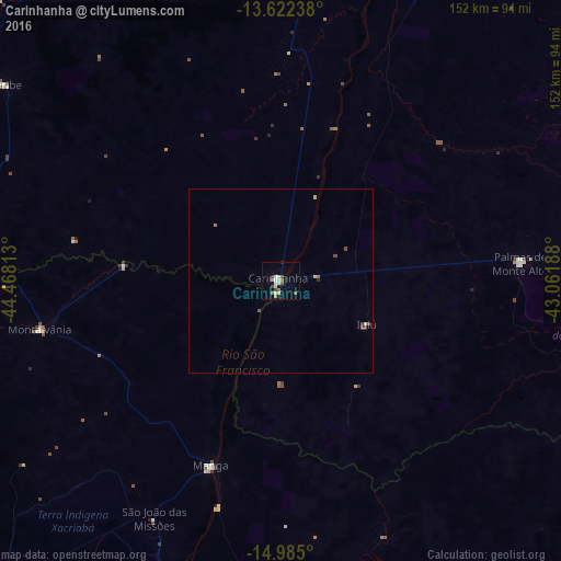
98.77%Clear (daylight) street map image can be seen on geolist.org.
Map coordinates:
13° 37' 20.6" South, 44° 28' 5.3" West
14° 18' 17" South, 43° 45' 54" West
14° 59' 6" South, 43° 3' 42.8" West
Some cities around Carinhanha sort by population:
• Guanambi
106.4 km =66.1 mi,  85°
85°
• Bom Jesus da Lapa
122.6 km =76.2 mi,  17°
17°
• Santa Maria da Vitória
112.2 km =69.7 mi,  335°
335°
• Espinosa
123 km =76.4 mi,  124°
124°
• Itacarambi
95.4 km =59.3 mi,  201°
201°
• Riacho de Santana
118 km =73.3 mi,  49°
49°
• Manga
53.3 km =33.1 mi, 199°
• Palmas de Monte Alto
65.1 km =40.5 mi, 86°
3466950 (p: 11,407)
Sources (retrieved 2019-11-25):
» Earth at Night: Flat Maps 2012, 2016