Paratinga night lights from space
Night Light of Paratinga (Bahia) from space (Brazil) Src. Average luminocity for 10x10km area is 10.1212% and for 50x50km: 0.5585%.
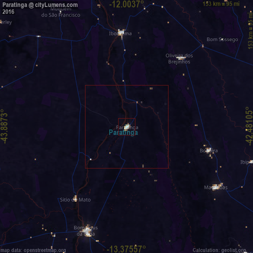
Analysis of Paratinga night lights 2016
Square area 10x10 km:
 1.52%
1.52%90-99
1.95%80-89
1.3%70-79
1.3%60-69
0%50-59
2.38%40-49
2.81%30-39
0%20-29
0%10-19
0.87%0-9
87.88%Square area 50x50 km:
0.08%90-99
0.09%80-89
0.05%70-79
0.05%60-69
0%50-59
0.13%40-49
0.19%30-39
0.09%20-29
0.03%10-19
0.03%0-9
99.25%Clear (daylight) street map image can be seen on geolist.org.
Map coordinates:
12° 0' 13.3" South, 43° 53' 14.3" West
12° 41' 26" South, 43° 11' 3" West
13° 22' 32.1" South, 42° 28' 51.8" West
Some cities around Paratinga sort by population:
• Bom Jesus da Lapa
67.7 km =42.1 mi,  201°
201°
• Santa Maria da Vitória
134.5 km =83.6 mi,  234°
234°
• Ibotirama
56.3 km =35 mi,  355°
355°
• Macaúbas
64.1 km =39.8 mi,  124°
124°
• Riacho de Santana
105.5 km =65.6 mi,  165°
165°
• Paramirim
132.2 km =82.1 mi,  129°
129°
• Boquira
51.4 km =31.9 mi,  106°
106°
• Oliveira dos Brejinhos
52 km =32.3 mi,  36°
36°
3455029 (p: 10,261)
Sources (retrieved 2019-11-25):
» Earth at Night: Flat Maps 2012, 2016