São Desidério night lights from space
Night Light of São Desidério (Bahia) from space (Brazil) Src. Average luminocity for 10x10km area is 6.5517% and for 50x50km: 2.3672%.
Analysis of São Desidério night lights 2016
Square area 10x10 km:
 0.41%
0.41%90-99
2.07%80-89
0%70-79
0.83%60-69
0%50-59
2.07%40-49
1.24%30-39
1.45%20-29
0.62%10-19
0.83%0-9
90.5%Square area 50x50 km:
0.35%90-99
0.46%80-89
0.15%70-79
0.09%60-69
0.23%50-59
0.42%40-49
0.44%30-39
0.43%20-29
0.66%10-19
1.78%0-9
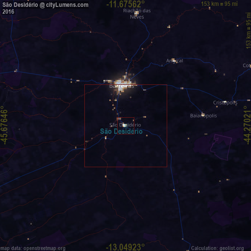
94.99%Clear (daylight) street map image can be seen on geolist.org.
Map coordinates:
11° 40' 32.2" South, 45° 40' 35.3" West
12° 21' 48" South, 44° 58' 24" West
13° 2' 57.2" South, 44° 16' 12.8" West
Some cities around São Desidério sort by population:
• Barreiras
23.5 km =14.6 mi,  355°
355°
• Bom Jesus da Lapa
195.6 km =121.5 mi,  120°
120°
• Santa Maria da Vitória
141.5 km =87.9 mi,  143°
143°
• Ibotirama
191.5 km =119 mi,  84°
84°
• Formosa do Rio Preto
148.2 km =92.1 mi,  350°
350°
• Taguatinga
158.9 km =98.7 mi,  268°
268°
• Correntina
114.9 km =71.4 mi,  161°
161°
• Riachão das Neves
69 km =42.9 mi,  5°
5°
3449304 (p: 7,295)
Sources (retrieved 2019-11-25):
» Earth at Night: Flat Maps 2012, 2016