Manga night lights from space
Night Light of Manga (Minas Gerais) from space (Brazil) Src. Average luminocity for 10x10km area is 8.7335% and for 50x50km: 0.6554%.
Analysis of Manga night lights 2016
Square area 10x10 km:
 2.07%
2.07%90-99
1.24%80-89
2.48%70-79
0%60-69
0%50-59
0.62%40-49
1.86%30-39
0.83%20-29
0.83%10-19
0%0-9
90.08%Square area 50x50 km:
0.1%90-99
0.07%80-89
0.22%70-79
0.01%60-69
0.03%50-59
0.12%40-49
0.12%30-39
0.09%20-29
0.07%10-19
0.03%0-9
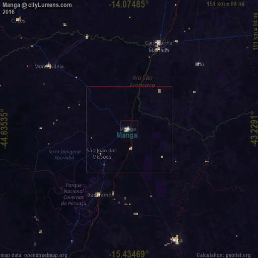
99.14%Clear (daylight) street map image can be seen on geolist.org.
Map coordinates:
14° 4' 29.5" South, 44° 38' 7.3" West
14° 45' 21" South, 43° 55' 56" West
15° 26' 4.9" South, 43° 13' 44.8" West
Some cities around Manga sort by population:
• Januária
93.5 km =58.1 mi,  209°
209°
• Barreiro do Jaíba
102.3 km =63.6 mi,  159°
159°
• Espinosa
121.1 km =75.2 mi,  98°
98°
• Itacarambi
42.2 km =26.2 mi,  204°
204°
• Carinhanha
53.3 km =33.1 mi,  19°
19°
• Monte Azul
122 km =75.8 mi,  111°
111°
• Palmas de Monte Alto
99.1 km =61.6 mi,  56°
56°
• Varzelândia
105.6 km =65.6 mi,  185°
185°
3458020 (p: 11,732)
Sources (retrieved 2019-11-25):
» Earth at Night: Flat Maps 2012, 2016