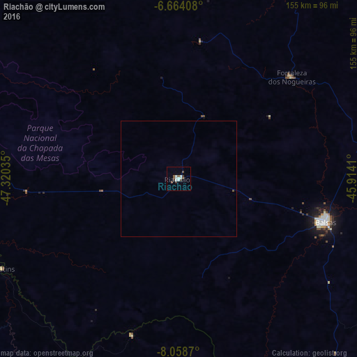
Riachão night lights from space
Night Light of Riachão (Maranhão) from space (Brazil) Src. Average luminocity for 10x10km area is 12.4481% and for 50x50km: 0.5327%.
Analysis of Riachão night lights 2016
Square area 10x10 km:
 1.3%
1.3%90-99
4.55%80-89
0.22%70-79
0%60-69
0%50-59
4.55%40-49
0.65%30-39
2.6%20-29
0.87%10-19
0%0-9
85.28%Square area 50x50 km:
0.05%90-99
0.18%80-89
0.01%70-79
0%60-69
0%50-59
0.18%40-49
0.06%30-39
0.1%20-29
0.03%10-19
0%0-9
99.39%Clear (daylight) street map image can be seen on geolist.org.
Map coordinates:
6° 39' 50.7" South, 47° 19' 13.3" West
7° 21' 43" South, 46° 37' 2" West
8° 3' 31.3" South, 45° 54' 50.8" West
Some cities around Riachão sort by population:
• Araguaína
176.4 km =109.6 mi,  276°
276°
• Balsas
66.9 km =41.6 mi,  106°
106°
• Grajaú
179.5 km =111.5 mi,  17°
17°
• Santa Luzia
73.2 km =45.5 mi,  244°
244°
• Carolina
93.2 km =57.9 mi,  271°
271°
• Porto Franco
142.8 km =88.7 mi,  322°
322°
• Bom Jardim
41.1 km =25.5 mi, 21°
• São Raimundo das Mangabeiras
130.9 km =81.3 mi,  73°
73°
3390581 (p: 12,427)
Sources (retrieved 2019-11-25):
» Earth at Night: Flat Maps 2012, 2016