Santa Luzia night lights from space
Night Light of Santa Luzia (Maranhão) from space (Brazil) Src. Average luminocity for 10x10km area is 0% and for 50x50km: 0.1604%.
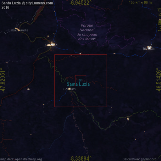
Analysis of Santa Luzia night lights 2016
Square area 10x10 km:
 0%
0%90-99
0%80-89
0%70-79
0%60-69
0%50-59
0%40-49
0%30-39
0%20-29
0%10-19
0%0-9
100%Square area 50x50 km:
0%90-99
0%80-89
0.06%70-79
0.01%60-69
0%50-59
0.11%40-49
0.01%30-39
0.04%20-29
0.04%10-19
0.02%0-9
99.71%Clear (daylight) street map image can be seen on geolist.org.
Map coordinates:
6° 56' 42.8" South, 47° 55' 13.8" West
7° 38' 33.5" South, 47° 13' 2.6" West
8° 20' 20.2" South, 46° 30' 51.3" West
Some cities around Santa Luzia sort by population:
• Araguaína
120.1 km =74.6 mi,  294°
294°
• Balsas
130.8 km =81.3 mi,  84°
84°
• Carolina
43.5 km =27 mi,  321°
321°
• Porto Franco
146.4 km =91 mi,  352°
352°
• São Geraldo do Araguaia
202.1 km =125.6 mi,  313°
313°
• Riachão
73.2 km =45.5 mi,  64°
64°
• Bom Jardim
106.8 km =66.4 mi,  49°
49°
• São Raimundo das Mangabeiras
203.5 km =126.4 mi,  70°
70°
3389557 (p: 22,909)
Sources (retrieved 2019-11-25):
» Earth at Night: Flat Maps 2012, 2016