São Raimundo das Mangabeiras night lights from space
Night Light of São Raimundo das Mangabeiras (Maranhão) from space (Brazil) Src. Average luminocity for 10x10km area is 9.2684% and for 50x50km: 0.5288%.
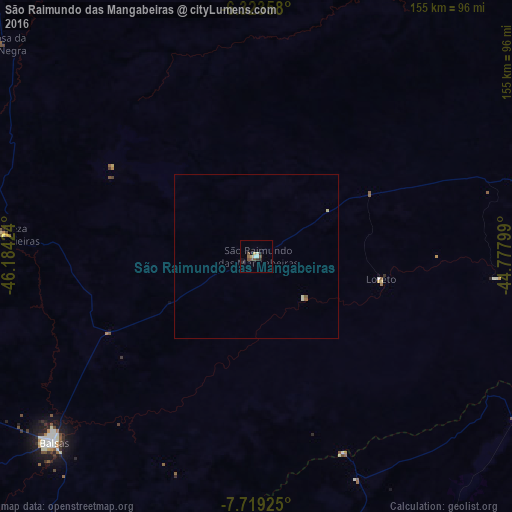
Analysis of São Raimundo das Mangabeiras night lights 2016
Square area 10x10 km:
 1.08%
1.08%90-99
1.52%80-89
1.73%70-79
0%60-69
0.22%50-59
2.81%40-49
2.16%30-39
0.87%20-29
2.6%10-19
1.52%0-9
85.5%Square area 50x50 km:
0.04%90-99
0.13%80-89
0.1%70-79
0%60-69
0.04%50-59
0.15%40-49
0.09%30-39
0.03%20-29
0.1%10-19
0.06%0-9
99.25%Clear (daylight) street map image can be seen on geolist.org.
Map coordinates:
6° 19' 24.9" South, 46° 11' 3.3" West
7° 1' 19" South, 45° 28' 52" West
7° 43' 9.3" South, 44° 46' 40.8" West
Some cities around São Raimundo das Mangabeiras sort by population:
• Balsas
83.4 km =51.8 mi,  227°
227°
• Grajaú
152.2 km =94.6 mi,  331°
331°
• Riachão
130.9 km =81.3 mi,  253°
253°
• Bom Jardim
110.6 km =68.7 mi,  270°
270°
• Uruçuí
104.6 km =65 mi,  102°
102°
• Raposa
153.9 km =95.6 mi,  68°
68°
• Pastos Bons
161.9 km =100.6 mi, 73°
• Mirador
143.1 km =88.9 mi,  59°
59°
3388147 (p: 10,216)
Sources (retrieved 2019-11-25):
» Earth at Night: Flat Maps 2012, 2016