Balsas night lights from space
Night Light of Balsas (Maranhão) from space (Brazil) Src. Average luminocity for 10x10km area is 48.0519% and for 50x50km: 2.573%.
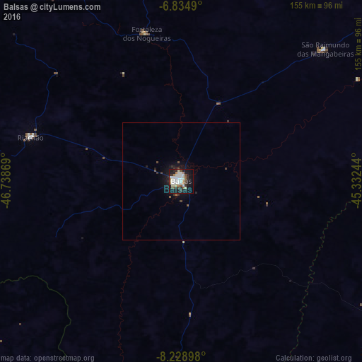
Analysis of Balsas night lights 2016
Square area 10x10 km:
 10.39%
90-99
17.53%80-89
2.81%70-79
4.98%60-69
2.81%50-59
3.9%40-49
4.11%30-39
5.84%20-29
9.31%10-19
32.03%0-9
6.28%Square area 50x50 km:
0.4%90-99
0.68%80-89
0.11%70-79
0.19%60-69
0.11%50-59
0.33%40-49
0.25%30-39
0.43%20-29
0.61%10-19
2.65%0-9
94.25%Clear (daylight) street map image can be seen on geolist.org.
Map coordinates:
6° 50' 5.6" South, 46° 44' 19.3" West
7° 31' 57" South, 46° 2' 8" West
8° 13' 44.3" South, 45° 19' 56.8" West
Some cities around Balsas sort by population:
• Grajaú
190.8 km =118.6 mi,  356°
356°
• Santa Luzia
130.8 km =81.3 mi,  264°
264°
• Carolina
158.8 km =98.7 mi,  277°
277°
• Porto Franco
200.7 km =124.7 mi,  311°
311°
• Riachão
66.9 km =41.6 mi,  286°
286°
• Bom Jardim
75.7 km =47 mi,  319°
319°
• Uruçuí
166.6 km =103.5 mi,  78°
78°
• São Raimundo das Mangabeiras
83.4 km =51.8 mi,  47°
47°
3406545 (p: 68,056)
Sources (retrieved 2019-11-25):
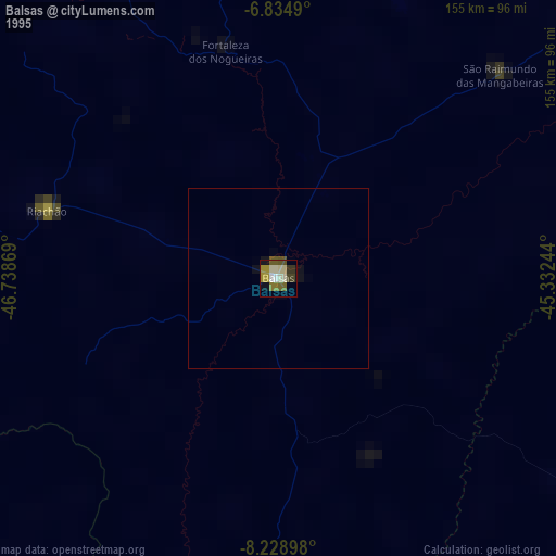
» NASA, Earths city lights 1995
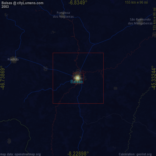
» NASA city lights 2003
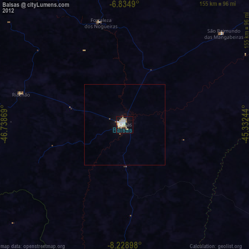
» Earth at Night: Flat Maps 2012, 2016