Grajaú night lights from space
Night Light of Grajaú (Maranhão) from space (Brazil) Src. Average luminocity for 10x10km area is 30.3946% and for 50x50km: 1.5614%.
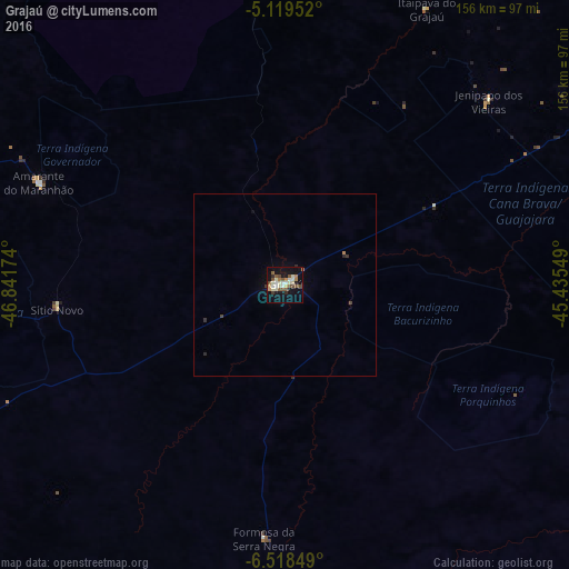
Analysis of Grajaú night lights 2016
Square area 10x10 km:
 2.27%
2.27%90-99
7.85%80-89
4.13%70-79
2.27%60-69
3.93%50-59
6.4%40-49
4.96%30-39
1.86%20-29
2.07%10-19
31.82%0-9
32.44%Square area 50x50 km:
0.09%90-99
0.33%80-89
0.17%70-79
0.09%60-69
0.21%50-59
0.27%40-49
0.27%30-39
0.17%20-29
0.16%10-19
1.41%0-9
96.82%Clear (daylight) street map image can be seen on geolist.org.
Map coordinates:
5° 7' 10.3" South, 46° 50' 30.3" West
5° 49' 10" South, 46° 8' 19" West
6° 31' 6.6" South, 45° 26' 7.8" West
Some cities around Grajaú sort by population:
• Imperatriz
153.2 km =95.2 mi,  282°
282°
• Barra do Corda
105 km =65.2 mi,  70°
70°
• Tuntum
176.3 km =109.5 mi, 69°
• Porto Franco
150.8 km =93.7 mi,  247°
247°
• Riachão
179.5 km =111.5 mi,  197°
197°
• Bom Jardim
138.5 km =86.1 mi, 195°
• Amarante do Maranhão
72.5 km =45 mi,  292°
292°
• São Raimundo das Mangabeiras
152.2 km =94.6 mi,  151°
151°
3398856 (p: 30,217)
Sources (retrieved 2019-11-25):
» Earth at Night: Flat Maps 2012, 2016