Carolina night lights from space
Night Light of Carolina (Maranhão) from space (Brazil) Src. Average luminocity for 10x10km area is 19.7273% and for 50x50km: 0.8987%.
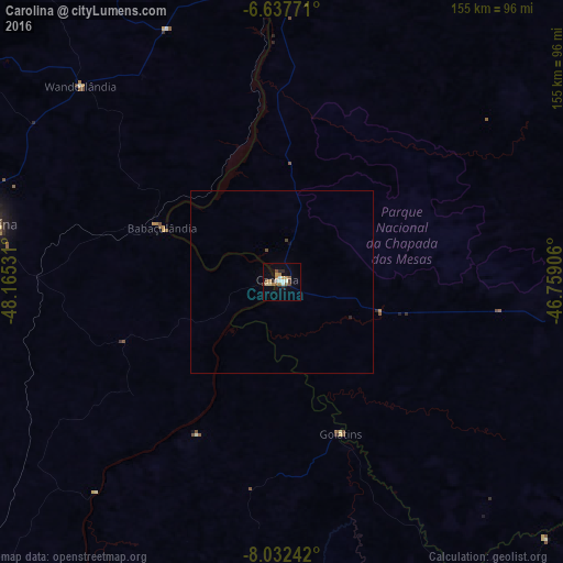
Analysis of Carolina night lights 2016
Square area 10x10 km:
 1.95%
1.95%90-99
3.25%80-89
2.16%70-79
3.03%60-69
3.46%50-59
4.33%40-49
1.52%30-39
0.87%20-29
3.03%10-19
6.06%0-9
70.35%Square area 50x50 km:
0.08%90-99
0.13%80-89
0.08%70-79
0.12%60-69
0.14%50-59
0.17%40-49
0.14%30-39
0.04%20-29
0.15%10-19
0.27%0-9
98.68%Clear (daylight) street map image can be seen on geolist.org.
Map coordinates:
6° 38' 15.8" South, 48° 9' 55.1" West
7° 20' 8.2" South, 47° 27' 43.8" West
8° 1' 56.7" South, 46° 45' 32.6" West
Some cities around Carolina sort by population:
• Imperatriz
201.2 km =125 mi,  359°
359°
• Araguaína
83.7 km =52 mi,  281°
281°
• Balsas
158.8 km =98.7 mi,  97°
97°
• Santa Luzia
43.5 km =27 mi,  141°
141°
• Porto Franco
111.1 km =69 mi,  3°
3°
• São Geraldo do Araguaia
159.3 km =99 mi,  310°
310°
• Riachão
93.2 km =57.9 mi,  91°
91°
• Bom Jardim
113.7 km =70.6 mi,  71°
71°
3402724 (p: 16,228)
Sources (retrieved 2019-11-25):
» Earth at Night: Flat Maps 2012, 2016