Bom Jardim night lights from space
Night Light of Bom Jardim (Maranhão) from space (Brazil) Src. Average luminocity for 10x10km area is 0% and for 50x50km: 0.1536%.
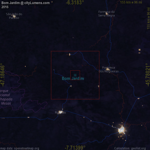
Analysis of Bom Jardim night lights 2016
Square area 10x10 km:
 0%
0%90-99
0%80-89
0%70-79
0%60-69
0%50-59
0%40-49
0%30-39
0%20-29
0%10-19
0%0-9
100%Square area 50x50 km:
0%90-99
0.01%80-89
0.04%70-79
0%60-69
0%50-59
0.07%40-49
0.05%30-39
0%20-29
0.09%10-19
0.07%0-9
99.67%Clear (daylight) street map image can be seen on geolist.org.
Map coordinates:
6° 19' 5.9" South, 47° 11' 11.3" West
7° 1' 0" South, 46° 28' 60" West
7° 42' 50.4" South, 45° 46' 48.8" West
Some cities around Bom Jardim sort by population:
• Balsas
75.7 km =47 mi,  139°
139°
• Grajaú
138.5 km =86.1 mi,  15°
15°
• Santa Luzia
106.8 km =66.4 mi,  229°
229°
• Carolina
113.7 km =70.6 mi,  251°
251°
• Porto Franco
126.2 km =78.4 mi,  306°
306°
• Riachão
41.1 km =25.5 mi,  201°
201°
• Amarante do Maranhão
163.7 km =101.7 mi,  349°
349°
• São Raimundo das Mangabeiras
110.6 km =68.7 mi,  90°
90°
3405341 (p: 12,343)
Sources (retrieved 2019-11-25):
» Earth at Night: Flat Maps 2012, 2016