Porto Franco night lights from space
Night Light of Porto Franco (Maranhão) from space (Brazil) Src. Average luminocity for 10x10km area is 31.2056% and for 50x50km: 2.4535%.
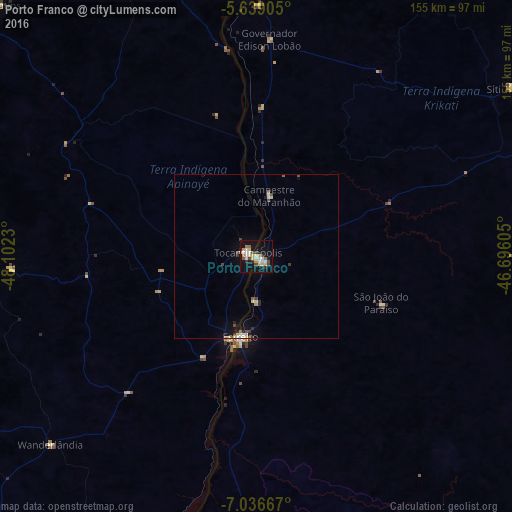
Analysis of Porto Franco night lights 2016
Square area 10x10 km:
 3.46%
3.46%90-99
7.14%80-89
6.71%70-79
3.46%60-69
2.81%50-59
2.16%40-49
3.25%30-39
3.46%20-29
3.25%10-19
32.25%0-9
32.03%Square area 50x50 km:
0.22%90-99
0.42%80-89
0.46%70-79
0.19%60-69
0.17%50-59
0.25%40-49
0.32%30-39
0.36%20-29
0.32%10-19
1.97%0-9
95.32%Clear (daylight) street map image can be seen on geolist.org.
Map coordinates:
5° 38' 20.6" South, 48° 6' 8.3" West
6° 20' 18" South, 47° 23' 57" West
7° 2' 12" South, 46° 41' 45.8" West
Some cities around Porto Franco sort by population:
• Imperatriz
90.9 km =56.5 mi,  353°
353°
• Araguaína
130.2 km =80.9 mi,  223°
223°
• Santa Luzia
146.4 km =91 mi,  172°
172°
• Carolina
111.1 km =69 mi,  183°
183°
• São Geraldo do Araguaia
127.9 km =79.5 mi,  266°
266°
• Riachão
142.8 km =88.7 mi,  142°
142°
• Bom Jardim
126.2 km =78.4 mi,  126°
126°
• Amarante do Maranhão
112.4 km =69.8 mi,  40°
40°
3391371 (p: 14,873)
Sources (retrieved 2019-11-25):
» Earth at Night: Flat Maps 2012, 2016