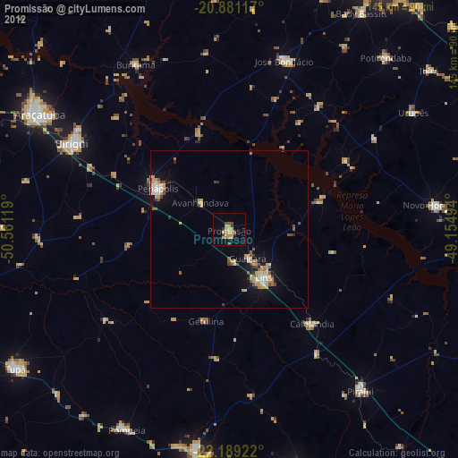
Promissão night lights from space
Night Light of Promissão (São Paulo) from space (Brazil) Src. Average luminocity for 10x10km area is 16.0322% and for 50x50km: 5.0705%.
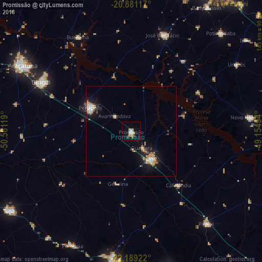
Analysis of Promissão night lights 2016
Square area 10x10 km:
 1.52%
1.52%90-99
2.84%80-89
1.33%70-79
5.87%60-69
0.57%50-59
1.52%40-49
0.95%30-39
1.33%20-29
0%10-19
4.55%0-9
79.55%Square area 50x50 km:
0.59%90-99
0.79%80-89
0.36%70-79
1.17%60-69
0.76%50-59
0.3%40-49
0.57%30-39
0.45%20-29
0.78%10-19
4.28%0-9
89.96%Clear (daylight) street map image can be seen on geolist.org.
Map coordinates:
20° 52' 52.2" South, 50° 33' 40.3" West
21° 32' 12" South, 49° 51' 29" West
22° 11' 21.2" South, 49° 9' 17.8" West
Some cities around Promissão sort by population:
• Birigui
57 km =35.4 mi,  298°
298°
• Lins
19.8 km =12.3 mi,  142°
142°
• Penápolis
26.2 km =16.3 mi, 299°
• Novo Horizonte
66.4 km =41.3 mi,  83°
83°
• José Bonifácio
56.6 km =35.2 mi,  18°
18°
• Pirajuí
66 km =41 mi, 141°
• Cafelândia
39.1 km =24.3 mi, 139°
• Buritama
60.3 km =37.5 mi,  330°
330°
3452237 (p: 27,031)
Sources (retrieved 2019-11-25):
» Earth at Night: Flat Maps 2012, 2016