Buritama night lights from space
Night Light of Buritama (São Paulo) from space (Brazil) Src. Average luminocity for 10x10km area is 13.375% and for 50x50km: 3.0728%.
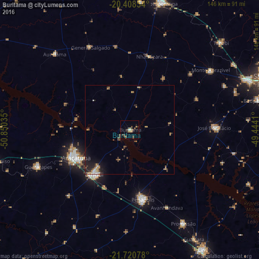
Analysis of Buritama night lights 2016
Square area 10x10 km:
 0.99%
0.99%90-99
0.6%80-89
0.6%70-79
4.17%60-69
1.39%50-59
2.18%40-49
3.57%30-39
3.37%20-29
0.6%10-19
1.79%0-9
80.75%Square area 50x50 km:
0.17%90-99
0.25%80-89
0.21%70-79
0.94%60-69
0.33%50-59
0.31%40-49
0.67%30-39
0.59%20-29
0.83%10-19
1.92%0-9
93.78%Clear (daylight) street map image can be seen on geolist.org.
Map coordinates:
20° 24' 30.7" South, 50° 51' 1.3" West
21° 3' 58" South, 50° 8' 50" West
21° 43' 14.8" South, 49° 26' 38.8" West
Some cities around Buritama sort by population:
• Araçatuba
33.6 km =20.9 mi,  241°
241°
• Birigui
31.8 km =19.8 mi,  218°
218°
• Penápolis
40 km =24.9 mi,  169°
169°
• José Bonifácio
47.6 km =29.6 mi,  88°
88°
• Guararapes
55.8 km =34.7 mi,  247°
247°
• Monte Aprazível
55.6 km =34.5 mi,  54°
54°
• Nhandeara
43.3 km =26.9 mi,  14°
14°
• General Salgado
51.5 km =32 mi,  334°
334°
3468789 (p: 12,712)
Sources (retrieved 2019-11-25):
» Earth at Night: Flat Maps 2012, 2016