José Bonifácio night lights from space
Night Light of José Bonifácio (São Paulo) from space (Brazil) Src. Average luminocity for 10x10km area is 21.2063% and for 50x50km: 4.2519%.
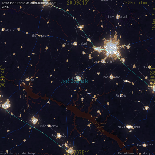
Analysis of José Bonifácio night lights 2016
Square area 10x10 km:
 2.98%
2.98%90-99
4.17%80-89
0.79%70-79
2.78%60-69
4.96%50-59
2.58%40-49
3.17%30-39
0.79%20-29
1.79%10-19
13.69%0-9
62.3%Square area 50x50 km:
0.28%90-99
0.43%80-89
0.15%70-79
0.83%60-69
0.77%50-59
0.47%40-49
0.98%30-39
0.78%20-29
1.23%10-19
2.51%0-9
91.58%Clear (daylight) street map image can be seen on geolist.org.
Map coordinates:
20° 23' 42.5" South, 50° 23' 29.3" West
21° 3' 10" South, 49° 41' 18" West
21° 42' 27" South, 48° 59' 6.8" West
Some cities around José Bonifácio sort by population:
• São José do Rio Preto
41.2 km =25.6 mi,  51°
51°
• Tanabi
47.6 km =29.6 mi,  4°
4°
• Monte Aprazível
31.3 km =19.4 mi,  355°
355°
• Bady Bassitt
29.3 km =18.2 mi,  59°
59°
• Guapiaçu
56.4 km =35 mi, 59°
• Buritama
47.6 km =29.6 mi,  268°
268°
• Urupês
44.5 km =27.7 mi,  111°
111°
• Nhandeara
54.5 km =33.9 mi,  317°
317°
3459667 (p: 27,828)
Sources (retrieved 2019-11-25):
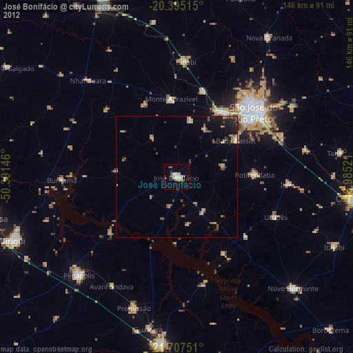
» Earth at Night: Flat Maps 2012, 2016