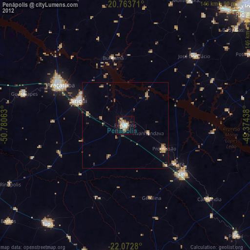
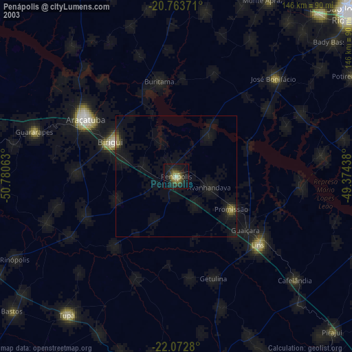
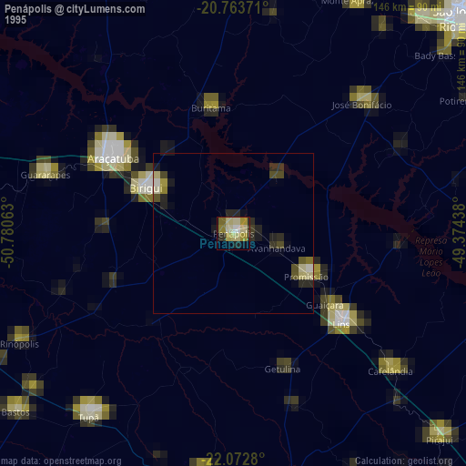
Penápolis night lights from space
Night Light of Penápolis (São Paulo) from space (Brazil) Src. Average luminocity for 10x10km area is 35.7121% and for 50x50km: 4.2688%.

Analysis of Penápolis night lights 2016
Square area 10x10 km:
 7.95%
7.95%90-99
8.71%80-89
1.52%70-79
5.3%60-69
3.79%50-59
1.52%40-49
3.6%30-39
3.41%20-29
3.6%10-19
44.51%0-9
16.1%Square area 50x50 km:
0.45%90-99
0.56%80-89
0.24%70-79
0.98%60-69
0.55%50-59
0.34%40-49
0.72%30-39
0.48%20-29
0.57%10-19
3.57%0-9
91.54%Clear (daylight) street map image can be seen on geolist.org.
Map coordinates:
20° 45' 49.4" South, 50° 46' 50.3" West
21° 25' 11" South, 50° 4' 39" West
22° 4' 22.1" South, 49° 22' 27.8" West
Some cities around Penápolis sort by population:
• Araçatuba
43.6 km =27.1 mi,  302°
302°
• Birigui
30.8 km =19.1 mi, 298°
• Lins
45 km =28 mi,  129°
129°
• José Bonifácio
57.4 km =35.7 mi,  44°
44°
• Guararapes
61.2 km =38 mi,  286°
286°
• Promissão
26.2 km =16.3 mi,  119°
119°
• Cafelândia
64.4 km =40 mi, 131°
• Buritama
40 km =24.9 mi,  349°
349°
3454235 (p: 54,477)
Sources (retrieved 2019-11-25):
» NASA, Earths city lights 1995
» NASA city lights 2003
» Earth at Night: Flat Maps 2012, 2016