Lins night lights from space
Night Light of Lins (São Paulo) from space (Brazil) Src. Average luminocity for 10x10km area is 38.6667% and for 50x50km: 4.4011%.
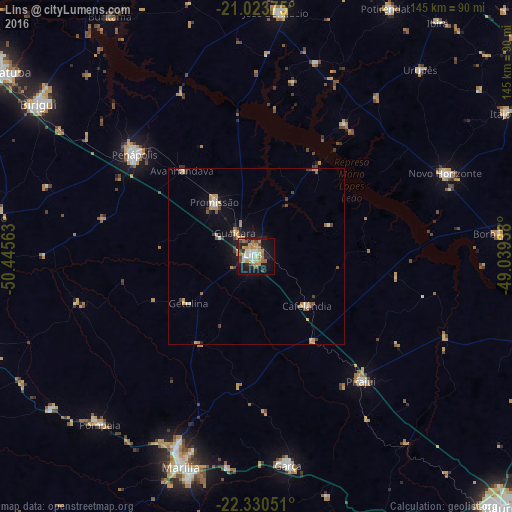
Analysis of Lins night lights 2016
Square area 10x10 km:
 4.17%
4.17%90-99
6.06%80-89
3.98%70-79
10.42%60-69
9.28%50-59
2.46%40-49
4.92%30-39
2.08%20-29
8.9%10-19
30.3%0-9
17.42%Square area 50x50 km:
0.29%90-99
0.52%80-89
0.38%70-79
1.29%60-69
0.69%50-59
0.45%40-49
0.6%30-39
0.42%20-29
0.65%10-19
2.86%0-9
91.87%Clear (daylight) street map image can be seen on geolist.org.
Map coordinates:
21° 1' 25.5" South, 50° 26' 44.3" West
21° 40' 43" South, 49° 44' 33" West
22° 19' 49.8" South, 49° 2' 21.8" West
Some cities around Lins sort by population:
• Marília
63.1 km =39.2 mi,  199°
199°
• Penápolis
45 km =28 mi,  309°
309°
• Garça
59.8 km =37.2 mi,  171°
171°
• Novo Horizonte
58.8 km =36.5 mi,  66°
66°
• Promissão
19.8 km =12.3 mi,  322°
322°
• Pompéia
65.2 km =40.5 mi,  222°
222°
• Pirajuí
46.2 km =28.7 mi,  140°
140°
• Cafelândia
19.4 km =12.1 mi, 135°
3458494 (p: 69,451)
Sources (retrieved 2019-11-25):
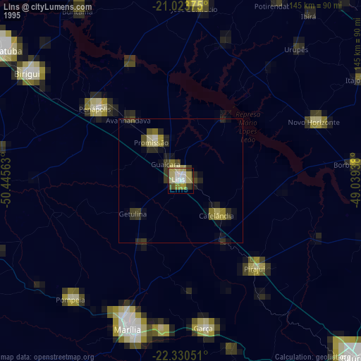
» NASA, Earths city lights 1995
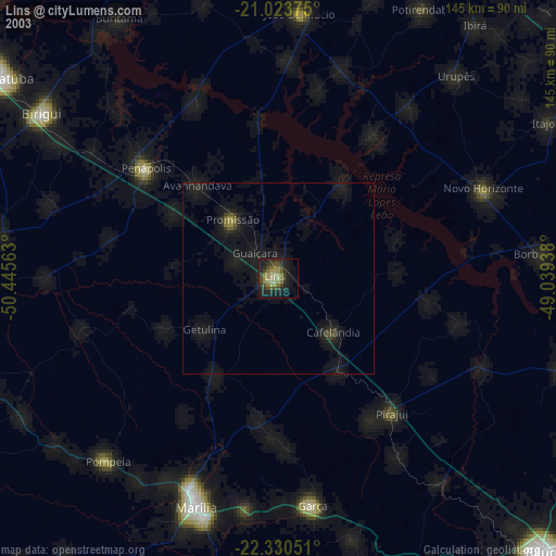
» NASA city lights 2003
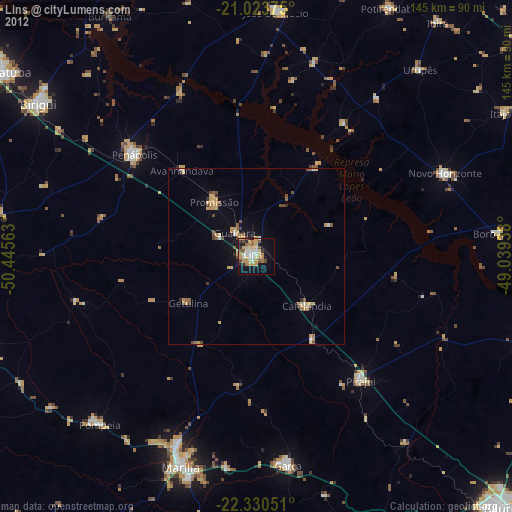
» Earth at Night: Flat Maps 2012, 2016