Prado night lights from space
Night Light of Prado (Bahia) from space (Brazil) Src. Average luminocity for 10x10km area is 15.4194% and for 50x50km: 1.5271%.
Analysis of Prado night lights 2016
Square area 10x10 km:
 2.48%
2.48%90-99
4.13%80-89
0.83%70-79
0.83%60-69
1.24%50-59
1.24%40-49
3.31%30-39
2.48%20-29
0.83%10-19
0.83%0-9
81.82%Square area 50x50 km:
0.15%90-99
0.28%80-89
0.19%70-79
0.12%60-69
0.11%50-59
0.16%40-49
0.36%30-39
0.31%20-29
0.19%10-19
0.11%0-9
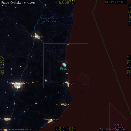
98%Clear (daylight) street map image can be seen on geolist.org.
Map coordinates:
16° 40' 7.4" South, 39° 55' 26.3" West
17° 20' 28" South, 39° 13' 15" West
18° 0' 39.7" South, 38° 31' 3.8" West
Some cities around Prado sort by population:
• Porto Seguro
100.5 km =62.4 mi,  9°
9°
• Eunápolis
113.8 km =70.7 mi,  340°
340°
• Itamaraju
47 km =29.2 mi,  315°
315°
• Mucuri
89.9 km =55.9 mi,  202°
202°
• Posto da Mata
90.7 km =56.4 mi,  227°
227°
• Nova Viçosa
63.3 km =39.3 mi,  194°
194°
• Medeiros Neto
106.2 km =66 mi,  268°
268°
• Guaratinga
103 km =64 mi, 324°
3452483 (p: 15,464)
Sources (retrieved 2019-11-25):
» Earth at Night: Flat Maps 2012, 2016