Itamaraju night lights from space
Night Light of Itamaraju (Bahia) from space (Brazil) Src. Average luminocity for 10x10km area is 30.0476% and for 50x50km: 1.3906%.
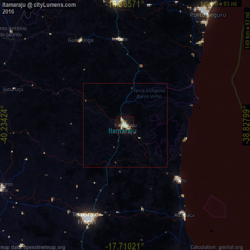
Analysis of Itamaraju night lights 2016
Square area 10x10 km:
 1.73%
1.73%90-99
7.58%80-89
7.14%70-79
2.6%60-69
2.6%50-59
4.11%40-49
2.6%30-39
3.03%20-29
2.6%10-19
30.95%0-9
35.06%Square area 50x50 km:
0.06%90-99
0.31%80-89
0.27%70-79
0.1%60-69
0.1%50-59
0.15%40-49
0.23%30-39
0.14%20-29
0.13%10-19
1.18%0-9
97.33%Clear (daylight) street map image can be seen on geolist.org.
Map coordinates:
16° 21' 56.6" South, 40° 14' 3.3" West
17° 2' 21" South, 39° 31' 52" West
17° 42' 36.8" South, 38° 49' 40.8" West
Some cities around Itamaraju sort by population:
• Porto Seguro
82.2 km =51.1 mi,  37°
37°
• Eunápolis
73.8 km =45.9 mi,  355°
355°
• Nova Viçosa
96.3 km =59.8 mi,  169°
169°
• Santa Cruz Cabrália
100.4 km =62.4 mi,  32°
32°
• Prado
47 km =29.2 mi,  135°
135°
• Medeiros Neto
82.1 km =51 mi,  243°
243°
• Itanhém
86.1 km =53.5 mi,  260°
260°
• Guaratinga
57.1 km =35.5 mi,  332°
332°
3460826 (p: 47,628)
Sources (retrieved 2019-11-25):
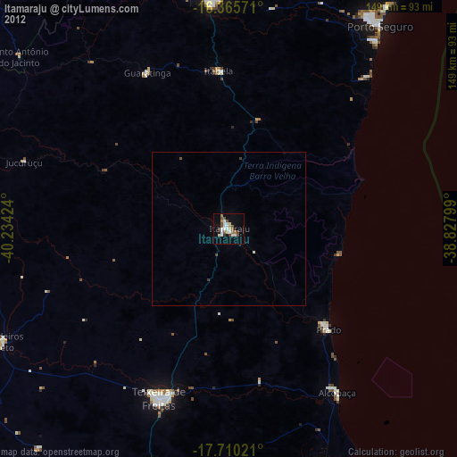
» Earth at Night: Flat Maps 2012, 2016