Guaratinga night lights from space
Night Light of Guaratinga (Bahia) from space (Brazil) Src. Average luminocity for 10x10km area is 5.1342% and for 50x50km: 1.8326%.
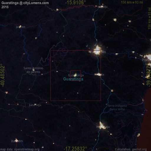
Analysis of Guaratinga night lights 2016
Square area 10x10 km:
 0%
0%90-99
0.65%80-89
1.3%70-79
1.52%60-69
0%50-59
1.3%40-49
1.3%30-39
0.43%20-29
0.43%10-19
0%0-9
93.07%Square area 50x50 km:
0.28%90-99
0.57%80-89
0.16%70-79
0.09%60-69
0.08%50-59
0.43%40-49
0.14%30-39
0.18%20-29
0.28%10-19
1.07%0-9
96.71%Clear (daylight) street map image can be seen on geolist.org.
Map coordinates:
15° 54' 38.2" South, 40° 29' 6.1" West
16° 35' 8.3" South, 39° 46' 54.8" West
17° 15' 30" South, 39° 4' 43.6" West
Some cities around Guaratinga sort by population:
• Porto Seguro
77.9 km =48.4 mi,  78°
78°
• Eunápolis
31.6 km =19.6 mi,  42°
42°
• Itamaraju
57.1 km =35.5 mi,  152°
152°
• Almenara
107.1 km =66.5 mi,  294°
294°
• Santa Cruz Cabrália
87.7 km =54.5 mi,  67°
67°
• Prado
103 km =64 mi,  144°
144°
• Medeiros Neto
99.3 km =61.7 mi,  208°
208°
• Itanhém
87 km =54.1 mi,  222°
222°
3461860 (p: 9,519)
Sources (retrieved 2019-11-25):
» Earth at Night: Flat Maps 2012, 2016