Nova Viçosa night lights from space
Night Light of Nova Viçosa (Bahia) from space (Brazil) Src. Average luminocity for 10x10km area is 14.658% and for 50x50km: 1.7783%.
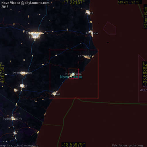
Analysis of Nova Viçosa night lights 2016
Square area 10x10 km:
 2.16%
2.16%90-99
2.16%80-89
3.03%70-79
1.52%60-69
1.52%50-59
1.95%40-49
2.16%30-39
1.3%20-29
1.3%10-19
0.87%0-9
82.03%Square area 50x50 km:
0.12%90-99
0.28%80-89
0.44%70-79
0.21%60-69
0.16%50-59
0.16%40-49
0.32%30-39
0.12%20-29
0.2%10-19
0.12%0-9
97.86%Clear (daylight) street map image can be seen on geolist.org.
Map coordinates:
17° 13' 17.7" South, 40° 4' 30.3" West
17° 53' 31" South, 39° 22' 19" West
18° 33' 35.2" South, 38° 40' 7.8" West
Some cities around Nova Viçosa sort by population:
• São Mateus
105.5 km =65.6 mi,  209°
209°
• Itamaraju
96.3 km =59.8 mi,  349°
349°
• Nanuque
104.1 km =64.7 mi,  273°
273°
• Mucuri
28.7 km =17.8 mi,  221°
221°
• Posto da Mata
51.2 km =31.8 mi, 270°
• Conceição da Barra
86.8 km =53.9 mi, 206°
• Prado
63.3 km =39.3 mi,  14°
14°
• Medeiros Neto
106.8 km =66.4 mi,  302°
302°
3456102 (p: 20,097)
Sources (retrieved 2019-11-25):
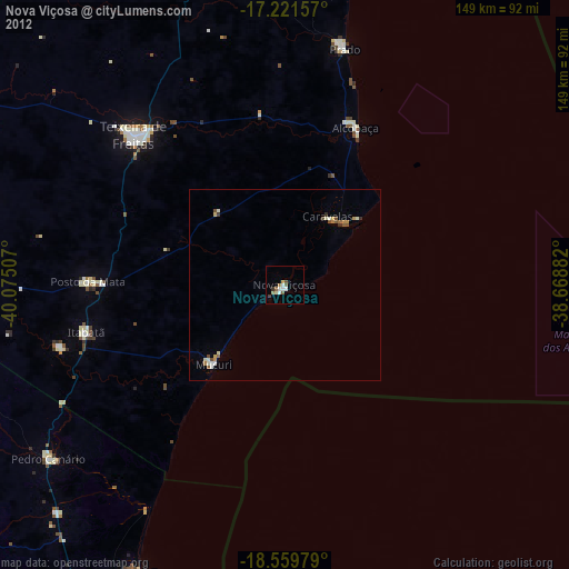
» Earth at Night: Flat Maps 2012, 2016