Porto Seguro night lights from space
Night Light of Porto Seguro (Bahia) from space (Brazil) Src. Average luminocity for 10x10km area is 41.9876% and for 50x50km: 4.8118%.
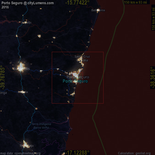
Analysis of Porto Seguro night lights 2016
Square area 10x10 km:
 9.92%
9.92%90-99
12.19%80-89
2.69%70-79
1.45%60-69
3.31%50-59
8.26%40-49
4.75%30-39
2.48%20-29
11.36%10-19
29.34%0-9
14.26%Square area 50x50 km:
0.55%90-99
0.94%80-89
0.38%70-79
0.29%60-69
0.62%50-59
0.91%40-49
0.69%30-39
0.4%20-29
1.04%10-19
4.8%0-9
89.38%Clear (daylight) street map image can be seen on geolist.org.
Map coordinates:
15° 46' 27.2" South, 39° 46' 4.3" West
16° 26' 59" South, 39° 3' 53" West
17° 7' 22.4" South, 38° 21' 41.8" West
Some cities around Porto Seguro sort by population:
• Eunápolis
55.6 km =34.5 mi,  278°
278°
• Itamaraju
82.2 km =51.1 mi,  217°
217°
• Canavieiras
87.1 km =54.1 mi,  8°
8°
• Santa Cruz Cabrália
19.6 km =12.2 mi, 12°
• Mascote
101.8 km =63.3 mi,  345°
345°
• Prado
100.5 km =62.4 mi,  189°
189°
• Belmonte
68.3 km =42.4 mi,  16°
16°
• Guaratinga
77.9 km =48.4 mi,  258°
258°
3452640 (p: 123,173)
Sources (retrieved 2019-11-25):
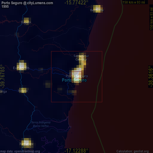
» NASA, Earths city lights 1995
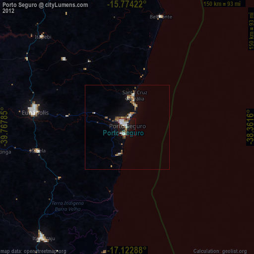
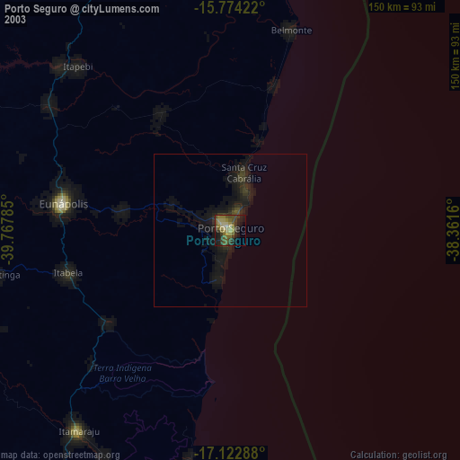
» NASA city lights 2003
» Earth at Night: Flat Maps 2012, 2016