Medeiros Neto night lights from space
Night Light of Medeiros Neto (Bahia) from space (Brazil) Src. Average luminocity for 10x10km area is 13.5% and for 50x50km: 1.0863%.
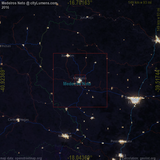
Analysis of Medeiros Neto night lights 2016
Square area 10x10 km:
 1.45%
1.45%90-99
2.89%80-89
1.65%70-79
0.62%60-69
2.48%50-59
2.07%40-49
1.65%30-39
1.24%20-29
1.24%10-19
0.83%0-9
83.88%Square area 50x50 km:
0.07%90-99
0.17%80-89
0.22%70-79
0.07%60-69
0.18%50-59
0.19%40-49
0.19%30-39
0.17%20-29
0.09%10-19
0.03%0-9
98.6%Clear (daylight) street map image can be seen on geolist.org.
Map coordinates:
16° 42' 5.9" South, 40° 55' 25.3" West
17° 22' 26" South, 40° 13' 14" West
18° 2' 37.3" South, 39° 31' 2.8" West
Some cities around Medeiros Neto sort by population:
• Itamaraju
82.1 km =51 mi,  63°
63°
• Nanuque
53.6 km =33.3 mi,  195°
195°
• Posto da Mata
69 km =42.9 mi,  145°
145°
• Itanhém
25.8 km =16 mi,  333°
333°
• Carlos Chagas
68.5 km =42.6 mi,  237°
237°
• Montanha
85.1 km =52.9 mi,  190°
190°
• Águas Formosas
82.6 km =51.3 mi,  293°
293°
• Mucurici
85.9 km =53.4 mi, 201°
3457360 (p: 15,254)
Sources (retrieved 2019-11-25):
» Earth at Night: Flat Maps 2012, 2016