Nanuque night lights from space
Night Light of Nanuque (Minas Gerais) from space (Brazil) Src. Average luminocity for 10x10km area is 23.3831% and for 50x50km: 1.6101%.
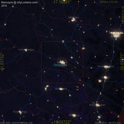
Analysis of Nanuque night lights 2016
Square area 10x10 km:
 1.95%
1.95%90-99
0.65%80-89
11.9%70-79
0.22%60-69
1.73%50-59
3.9%40-49
3.25%30-39
1.08%20-29
1.3%10-19
12.55%0-9
61.47%Square area 50x50 km:
0.07%90-99
0.06%80-89
0.7%70-79
0.06%60-69
0.13%50-59
0.22%40-49
0.3%30-39
0.2%20-29
0.21%10-19
0.55%0-9
97.49%Clear (daylight) street map image can be seen on geolist.org.
Map coordinates:
17° 10' 7" South, 41° 3' 25.3" West
17° 50' 21" South, 40° 21' 14" West
18° 30' 26" South, 39° 39' 2.8" West
Some cities around Nanuque sort by population:
• Posto da Mata
53 km =32.9 mi,  95°
95°
• Medeiros Neto
53.6 km =33.3 mi,  15°
15°
• Ecoporanga
77.9 km =48.4 mi,  220°
220°
• Itanhém
74.8 km =46.5 mi,  1°
1°
• Carlos Chagas
46.2 km =28.7 mi,  289°
289°
• Montanha
32 km =19.9 mi,  181°
181°
• Mucurici
33 km =20.5 mi,  211°
211°
• Boa Esperança
78.2 km =48.6 mi, 175°
3456398 (p: 37,824)
Sources (retrieved 2019-11-25):
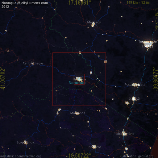
» Earth at Night: Flat Maps 2012, 2016