Pontalina night lights from space
Night Light of Pontalina (Goiás) from space (Brazil) Src. Average luminocity for 10x10km area is 8.0744% and for 50x50km: 0.5374%.
Analysis of Pontalina night lights 2016
Square area 10x10 km:
 0%
0%90-99
0.83%80-89
0.62%70-79
4.55%60-69
1.45%50-59
0%40-49
2.48%30-39
0%20-29
0%10-19
0%0-9
90.08%Square area 50x50 km:
0%90-99
0.06%80-89
0.02%70-79
0.23%60-69
0.11%50-59
0.02%40-49
0.21%30-39
0.06%20-29
0.02%10-19
0.02%0-9
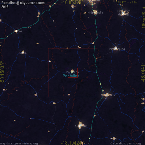
99.24%Clear (daylight) street map image can be seen on geolist.org.
Map coordinates:
16° 51' 11.8" South, 50° 9' 1.3" West
17° 31' 30" South, 49° 26' 50" West
18° 11' 39.3" South, 48° 44' 38.8" West
Some cities around Pontalina sort by population:
• Morrinhos
43.4 km =27 mi,  121°
121°
• Goiatuba
55.1 km =34.2 mi,  169°
169°
• Piracanjuba
51.9 km =32.2 mi,  61°
61°
• Bela Vista de Goiás
80.8 km =50.2 mi,  40°
40°
• Guapó
77.7 km =48.3 mi,  353°
353°
• Edéia
55.4 km =34.4 mi,  292°
292°
• Buriti Alegre
80.8 km =50.2 mi,  147°
147°
• Hidrolândia
66.8 km =41.5 mi,  20°
20°
3453158 (p: 13,639)
Sources (retrieved 2019-11-25):
» Earth at Night: Flat Maps 2012, 2016