Goiatuba night lights from space
Night Light of Goiatuba (Goiás) from space (Brazil) Src. Average luminocity for 10x10km area is 23.3247% and for 50x50km: 1.2745%.
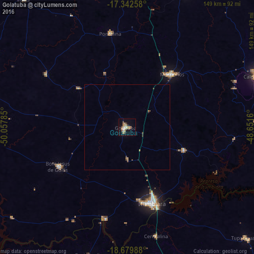
Analysis of Goiatuba night lights 2016
Square area 10x10 km:
 0.87%
0.87%90-99
4.33%80-89
3.46%70-79
6.28%60-69
4.11%50-59
1.52%40-49
4.11%30-39
1.3%20-29
0.87%10-19
12.77%0-9
60.39%Square area 50x50 km:
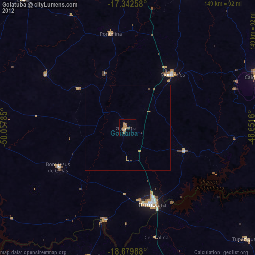
0.03%90-99
0.16%80-89
0.13%70-79
0.35%60-69
0.2%50-59
0.09%40-49
0.34%30-39
0.15%20-29
0.08%10-19
0.48%0-9
97.98%Clear (daylight) street map image can be seen on geolist.org.
Map coordinates:
17° 20' 33.3" South, 50° 3' 28.3" West
18° 0' 45" South, 49° 21' 17" West
18° 40' 47.6" South, 48° 39' 5.8" West
Some cities around Goiatuba sort by population:
• Itumbiara
47.6 km =29.6 mi,  161°
161°
• Caldas Novas
82.5 km =51.3 mi,  68°
68°
• Morrinhos
41.3 km =25.7 mi,  40°
40°
• Piracanjuba
86.7 km =53.9 mi,  24°
24°
• Pontalina
55.1 km =34.2 mi,  349°
349°
• Capinópolis
77.8 km =48.3 mi,  196°
196°
• Centralina
65.6 km =40.8 mi,  165°
165°
• Buriti Alegre
36.1 km =22.4 mi,  113°
113°
3462371 (p: 25,925)
Sources (retrieved 2019-11-25):
» Earth at Night: Flat Maps 2012, 2016