Edéia night lights from space
Night Light of Edéia (Goiás) from space (Brazil) Src. Average luminocity for 10x10km area is 7.0062% and for 50x50km: 0.7214%.
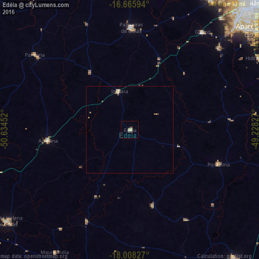
Analysis of Edéia night lights 2016
Square area 10x10 km:
 0.62%
0.62%90-99
1.03%80-89
1.65%70-79
0.83%60-69
0.83%50-59
0.83%40-49
1.65%30-39
1.65%20-29
0%10-19
0%0-9
90.91%Square area 50x50 km:
0.07%90-99
0.09%80-89
0.09%70-79
0.21%60-69
0.06%50-59
0.14%40-49
0.15%30-39
0.06%20-29
0.03%10-19
0.05%0-9
99.04%Clear (daylight) street map image can be seen on geolist.org.
Map coordinates:
16° 39' 57.4" South, 50° 38' 4.3" West
17° 20' 18" South, 49° 55' 53" West
18° 0' 29.8" South, 49° 13' 41.8" West
Some cities around Edéia sort by population:
• Aparecida de Goiânia
92.8 km =57.7 mi,  51°
51°
• Trindade
89.9 km =55.9 mi,  31°
31°
• Santa Helena de Goiás
88.1 km =54.7 mi,  233°
233°
• Pontalina
55.4 km =34.4 mi,  112°
112°
• Palmeiras de Goiás
59.3 km =36.8 mi,  0°
0°
• Guapó
70.6 km =43.9 mi,  36°
36°
• Paraúna
70 km =43.5 mi,  308°
308°
• Hidrolândia
85.6 km =53.2 mi,  60°
60°
3464363 (p: 9,838)
Sources (retrieved 2019-11-25):
» Earth at Night: Flat Maps 2012, 2016