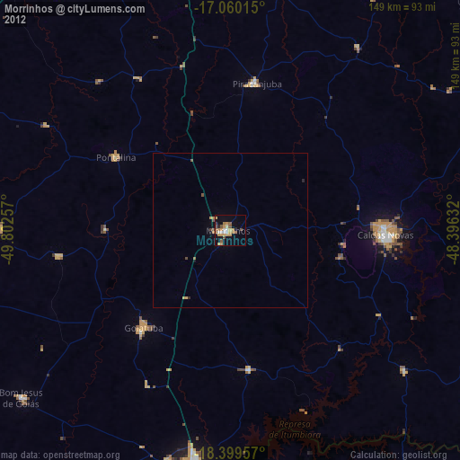
Morrinhos night lights from space
Night Light of Morrinhos (Goiás) from space (Brazil) Src. Average luminocity for 10x10km area is 26.1082% and for 50x50km: 1.3652%.
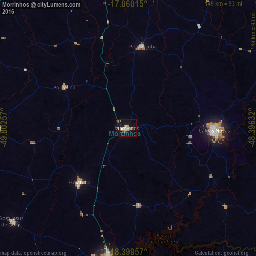
Analysis of Morrinhos night lights 2016
Square area 10x10 km:
 1.73%
1.73%90-99
4.33%80-89
2.6%70-79
7.79%60-69
3.46%50-59
1.73%40-49
5.63%30-39
2.38%20-29
1.08%10-19
24.24%0-9
45.02%Square area 50x50 km:
0.07%90-99
0.16%80-89
0.1%70-79
0.34%60-69
0.22%50-59
0.16%40-49
0.3%30-39
0.17%20-29
0.07%10-19
0.98%0-9
97.43%Clear (daylight) street map image can be seen on geolist.org.
Map coordinates:
17° 3' 36.5" South, 49° 48' 9.3" West
17° 43' 52" South, 49° 5' 58" West
18° 23' 58.5" South, 48° 23' 46.8" West
Some cities around Morrinhos sort by population:
• Itumbiara
77.5 km =48.2 mi,  189°
189°
• Caldas Novas
50 km =31.1 mi,  91°
91°
• Goiatuba
41.3 km =25.7 mi,  220°
220°
• Piracanjuba
48.4 km =30.1 mi,  10°
10°
• Bela Vista de Goiás
85.7 km =53.3 mi, 10°
• Pontalina
43.4 km =27 mi,  301°
301°
• Buriti Alegre
45.9 km =28.5 mi,  172°
172°
• Hidrolândia
86.6 km =53.8 mi,  350°
350°
3456735 (p: 34,143)
Sources (retrieved 2019-11-25):
» Earth at Night: Flat Maps 2012, 2016