Riberalta night lights from space
Night Light of Riberalta (El Beni) from space (Bolivia) Src. Average luminocity for 10x10km area is 28.8139% and for 50x50km: 1.2892%.
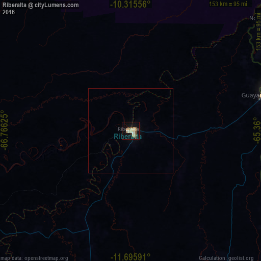
Analysis of Riberalta night lights 2016
Square area 10x10 km:
 0%
0%90-99
9.52%80-89
5.41%70-79
3.9%60-69
3.25%50-59
4.11%40-49
2.38%30-39
3.03%20-29
1.08%10-19
25.32%0-9
41.99%Square area 50x50 km:
0%90-99
0.37%80-89
0.21%70-79
0.15%60-69
0.13%50-59
0.16%40-49
0.1%30-39
0.13%20-29
0.04%10-19
1.07%0-9
97.63%Clear (daylight) street map image can be seen on geolist.org.
Map coordinates:
10° 18' 56" South, 66° 45' 58.5" West
11° 0' 23.5" South, 66° 3' 47.2" West
11° 41' 45.3" South, 65° 21' 36" West
Some cities around Riberalta sort by population:
• Rio Branco, BR
222.8 km =138.4 mi,  300°
300°
• Guayaramerín
79.6 km =49.5 mi,  75°
75°
• Guajará Mirim, BR
83.2 km =51.7 mi,  72°
72°
• Boca do Acre, BR
290.2 km =180.3 mi,  329°
329°
• Plácido de Castro, BR
143.6 km =89.2 mi, 301°
• Senador Guiomard, BR
206.3 km =128.2 mi, 297°
• Extrema, BR
141 km =87.6 mi,  346°
346°
• Xapuri, BR
269.5 km =167.5 mi,  278°
278°
3906466 (p: 74,014)
Sources (retrieved 2019-11-25):
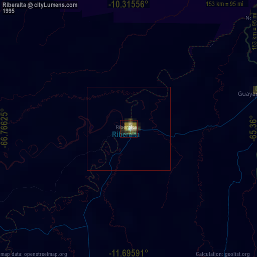
» NASA, Earths city lights 1995
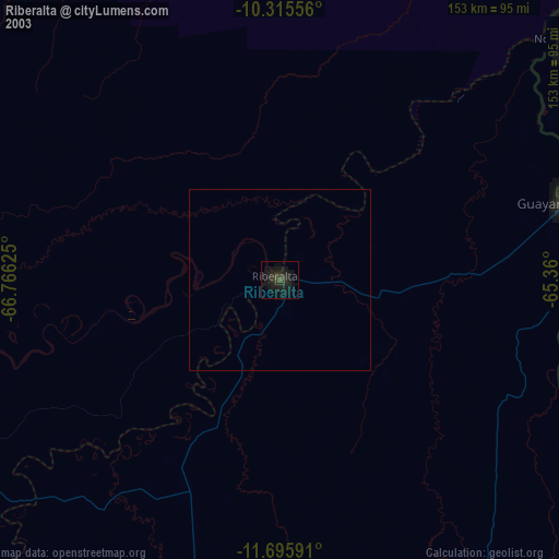
» NASA city lights 2003
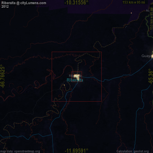
» Earth at Night: Flat Maps 2012, 2016