Araçatuba night lights from space
Night Light of Araçatuba (São Paulo) from space (Brazil) Src. Average luminocity for 10x10km area is 65.1548% and for 50x50km: 8.3279%.
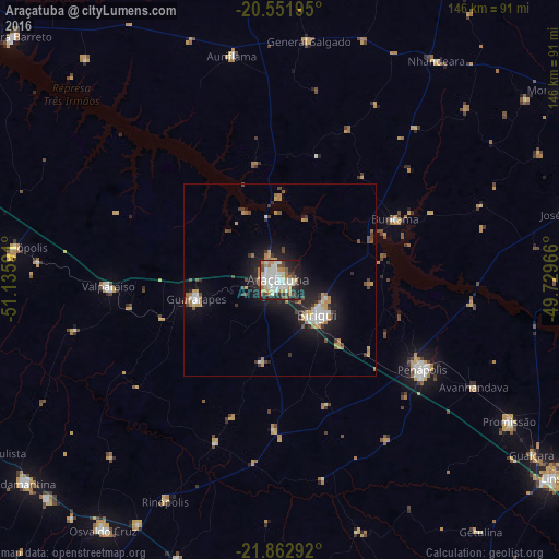
Analysis of Araçatuba night lights 2016
Square area 10x10 km:
 17.46%
90-99
18.85%80-89
6.94%70-79
7.14%60-69
10.91%50-59
1.98%40-49
8.13%30-39
5.75%20-29
13.49%10-19
9.13%0-9
0.2%Square area 50x50 km:
1.22%90-99
1.34%80-89
0.57%70-79
1.44%60-69
1.37%50-59
0.29%40-49
1.35%30-39
1.12%20-29
2.1%10-19
6.43%0-9
82.77%Clear (daylight) street map image can be seen on geolist.org.
Map coordinates:
20° 33' 7" South, 51° 8' 9.3" West
21° 12' 32" South, 50° 25' 58" West
21° 51' 46.5" South, 49° 43' 46.8" West
Some cities around Araçatuba sort by population:
• Birigui
13.1 km =8.1 mi,  132°
132°
• Penápolis
43.6 km =27.1 mi,  122°
122°
• Guararapes
22.5 km =14 mi,  255°
255°
• Promissão
69.8 km =43.4 mi, 121°
• Valparaíso
45.2 km =28.1 mi,  267°
267°
• Buritama
33.6 km =20.9 mi,  61°
61°
• Auriflama
59.6 km =37 mi,  347°
347°
• General Salgado
62.8 km =39 mi,  6°
6°
3471859 (p: 170,024)
Sources (retrieved 2019-11-25):
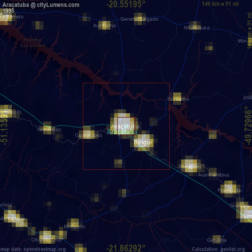
» NASA, Earths city lights 1995
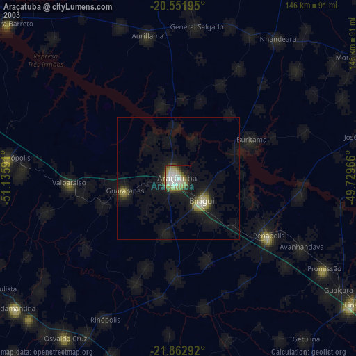
» NASA city lights 2003
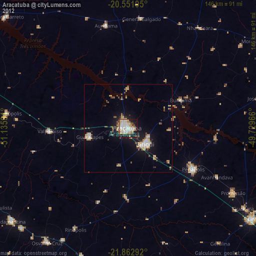
» Earth at Night: Flat Maps 2012, 2016