Guararapes night lights from space
Night Light of Guararapes (São Paulo) from space (Brazil) Src. Average luminocity for 10x10km area is 18.7044% and for 50x50km: 5.7218%.
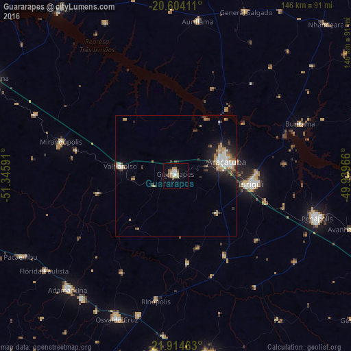
Analysis of Guararapes night lights 2016
Square area 10x10 km:
 2.58%
2.58%90-99
2.98%80-89
0.79%70-79
3.97%60-69
3.97%50-59
1.39%40-49
2.98%30-39
0.4%20-29
0.79%10-19
7.14%0-9
73.02%Square area 50x50 km:
0.92%90-99
1.01%80-89
0.44%70-79
0.97%60-69
0.92%50-59
0.18%40-49
0.97%30-39
0.64%20-29
1.22%10-19
2.97%0-9
89.76%Clear (daylight) street map image can be seen on geolist.org.
Map coordinates:
20° 36' 14.8" South, 51° 20' 45.3" West
21° 15' 39" South, 50° 38' 34" West
21° 54' 52.7" South, 49° 56' 22.8" West
Some cities around Guararapes sort by population:
• Araçatuba
22.5 km =14 mi,  75°
75°
• Birigui
31.5 km =19.6 mi,  95°
95°
• Penápolis
61.2 km =38 mi,  106°
106°
• Osvaldo Cruz
64.4 km =40 mi,  202°
202°
• Mirandopólis
49.6 km =30.8 mi,  286°
286°
• Valparaíso
23.7 km =14.7 mi,  278°
278°
• Lucélia
64.2 km =39.9 mi,  217°
217°
• Buritama
55.8 km =34.7 mi,  67°
67°
3461874 (p: 27,557)
Sources (retrieved 2019-11-25):
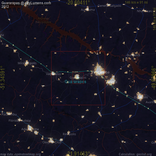
» Earth at Night: Flat Maps 2012, 2016