Marília night lights from space
Night Light of Marília (São Paulo) from space (Brazil) Src. Average luminocity for 10x10km area is 67.4318% and for 50x50km: 6.6697%.
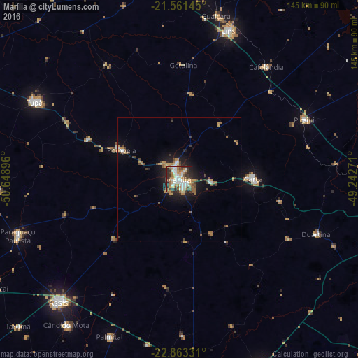
Analysis of Marília night lights 2016
Square area 10x10 km:
 15.15%
90-99
17.61%80-89
6.63%70-79
12.88%60-69
10.98%50-59
4.36%40-49
10.23%30-39
7.95%20-29
12.69%10-19
1.52%0-9
0%Square area 50x50 km:
0.82%90-99
0.9%80-89
0.42%70-79
1.32%60-69
1.25%50-59
0.62%40-49
1.25%30-39
0.88%20-29
1.45%10-19
4.38%0-9
86.72%Clear (daylight) street map image can be seen on geolist.org.
Map coordinates:
21° 33' 41.2" South, 50° 38' 56.3" West
22° 12' 50" South, 49° 56' 45" West
22° 51' 47.9" South, 49° 14' 33.8" West
Some cities around Marília sort by population:
• Lins
63.1 km =39.2 mi,  19°
19°
• Tupã
66.2 km =41.1 mi,  297°
297°
• Garça
29.8 km =18.5 mi,  89°
89°
• Paraguaçu Paulista
68.5 km =42.6 mi,  251°
251°
• Pompéia
26 km =16.2 mi, 296°
• Pirajuí
55.7 km =34.6 mi,  64°
64°
• Cafelândia
57.4 km =35.7 mi,  37°
37°
• Duartina
60 km =37.3 mi,  111°
111°
3457692 (p: 212,218)
Sources (retrieved 2019-11-25):
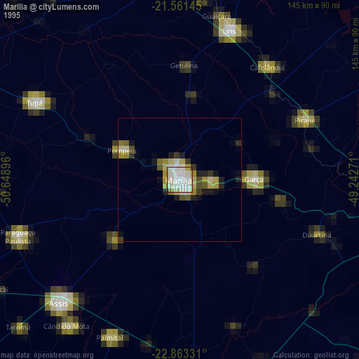
» NASA, Earths city lights 1995
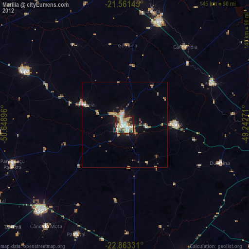
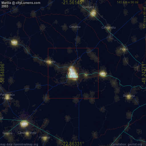
» NASA city lights 2003
» Earth at Night: Flat Maps 2012, 2016