Garça night lights from space
Night Light of Garça (São Paulo) from space (Brazil) Src. Average luminocity for 10x10km area is 25.1818% and for 50x50km: 3.5735%.
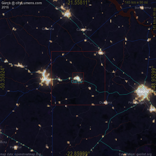
Analysis of Garça night lights 2016
Square area 10x10 km:
 4.55%
4.55%90-99
6.06%80-89
1.52%70-79
4.17%60-69
2.65%50-59
0.76%40-49
2.27%30-39
2.46%20-29
2.08%10-19
26.52%0-9
46.97%Square area 50x50 km:
0.4%90-99
0.37%80-89
0.16%70-79
0.81%60-69
0.71%50-59
0.42%40-49
0.51%30-39
0.32%20-29
0.29%10-19
2.59%0-9
93.42%Clear (daylight) street map image can be seen on geolist.org.
Map coordinates:
21° 33' 29.2" South, 50° 21' 33.3" West
22° 12' 38" South, 49° 39' 22" West
22° 51' 36" South, 48° 57' 10.8" West
Some cities around Garça sort by population:
• Bauru
62.4 km =38.8 mi,  100°
100°
• Marília
29.8 km =18.5 mi,  269°
269°
• Lins
59.8 km =37.2 mi,  351°
351°
• Agudos
74.5 km =46.3 mi,  112°
112°
• Pompéia
54.3 km =33.7 mi,  282°
282°
• Pirajuí
31.2 km =19.4 mi,  41°
41°
• Cafelândia
45.6 km =28.3 mi,  5°
5°
• Duartina
34.5 km =21.4 mi,  131°
131°
3462580 (p: 41,302)
Sources (retrieved 2019-11-25):
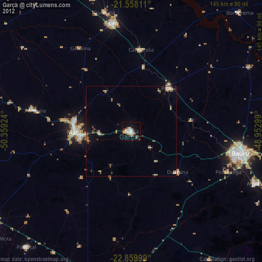
» Earth at Night: Flat Maps 2012, 2016