Paraguaçu Paulista night lights from space
Night Light of Paraguaçu Paulista (São Paulo) from space (Brazil) Src. Average luminocity for 10x10km area is 20.6117% and for 50x50km: 3.1493%.
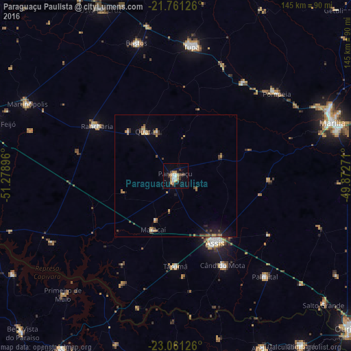
Analysis of Paraguaçu Paulista night lights 2016
Square area 10x10 km:
 3.03%
3.03%90-99
2.27%80-89
2.84%70-79
5.3%60-69
0.95%50-59
1.33%40-49
3.98%30-39
3.03%20-29
0.76%10-19
10.23%0-9
66.29%Square area 50x50 km:
0.22%90-99
0.2%80-89
0.3%70-79
0.77%60-69
0.49%50-59
0.23%40-49
0.75%30-39
0.49%20-29
0.42%10-19
1.56%0-9
94.56%Clear (daylight) street map image can be seen on geolist.org.
Map coordinates:
21° 45' 40.5" South, 51° 16' 44.3" West
22° 24' 46" South, 50° 34' 33" West
23° 3' 40.5" South, 49° 52' 21.8" West
Some cities around Paraguaçu Paulista sort by population:
• Assis
32.4 km =20.1 mi,  148°
148°
• Tupã
53.5 km =33.2 mi,  6°
6°
• Cândido Mota
41.9 km =26 mi, 152°
• Rancharia
38.5 km =23.9 mi,  302°
302°
• Pompéia
53.6 km =33.3 mi,  50°
50°
• Maracaí
23.9 km =14.9 mi,  203°
203°
• Quatá
22.3 km =13.9 mi,  325°
325°
• Tarumã
37.1 km =23.1 mi,  180°
180°
3455152 (p: 39,120)
Sources (retrieved 2019-11-25):
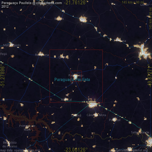
» Earth at Night: Flat Maps 2012, 2016