Mariana night lights from space
Night Light of Mariana (Minas Gerais) from space (Brazil) Src. Average luminocity for 10x10km area is 19.4564% and for 50x50km: 3.8287%.
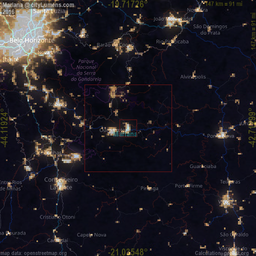
Analysis of Mariana night lights 2016
Square area 10x10 km:
 1.52%
1.52%90-99
3.03%80-89
1.14%70-79
3.6%60-69
3.6%50-59
0.76%40-49
3.79%30-39
3.03%20-29
1.14%10-19
19.89%0-9
58.52%Square area 50x50 km:
0.18%90-99
0.23%80-89
0.17%70-79
0.8%60-69
0.73%50-59
0.56%40-49
0.93%30-39
0.7%20-29
0.49%10-19
2.65%0-9
92.56%Clear (daylight) street map image can be seen on geolist.org.
Map coordinates:
19° 43' 2.1" South, 44° 7' 9.3" West
20° 22' 40" South, 43° 24' 58" West
21° 2' 7.7" South, 42° 42' 46.8" West
Some cities around Mariana sort by population:
• Conselheiro Lafaiete
49.7 km =30.9 mi,  230°
230°
• Ouro Preto
9.5 km =5.9 mi,  258°
258°
• Congonhas
48.3 km =30 mi,  252°
252°
• Ponte Nova
53.1 km =33 mi,  94°
94°
• Itabirito
42.5 km =26.4 mi,  289°
289°
• Ouro Branco
33.2 km =20.6 mi,  240°
240°
• Barão de Cocais
48.6 km =30.2 mi,  351°
351°
• Alvinópolis
48.7 km =30.3 mi,  51°
51°
3457736 (p: 45,236)
Sources (retrieved 2019-11-25):
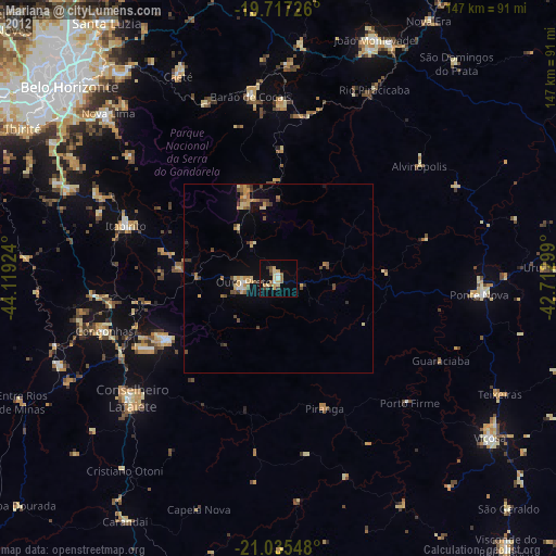
» Earth at Night: Flat Maps 2012, 2016