Itabirito night lights from space
Night Light of Itabirito (Minas Gerais) from space (Brazil) Src. Average luminocity for 10x10km area is 33.6647% and for 50x50km: 10.1034%.
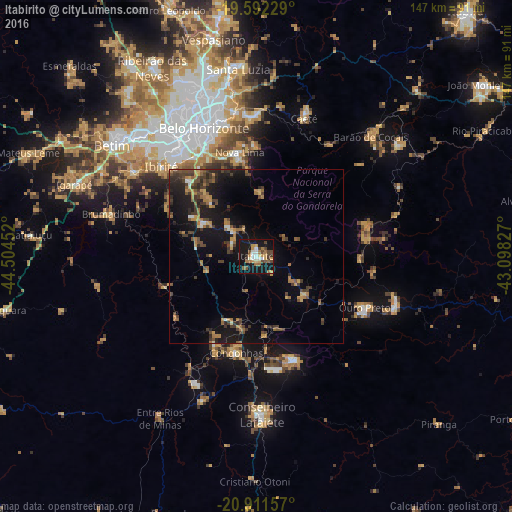
Analysis of Itabirito night lights 2016
Square area 10x10 km:
 4.76%
4.76%90-99
2.78%80-89
3.57%70-79
6.75%60-69
6.55%50-59
3.97%40-49
6.75%30-39
2.78%20-29
0.99%10-19
50.99%0-9
10.12%Square area 50x50 km:
0.4%90-99
0.45%80-89
0.62%70-79
1.67%60-69
2.14%50-59
1.3%40-49
2.69%30-39
2.33%20-29
2.26%10-19
11.21%0-9
74.93%Clear (daylight) street map image can be seen on geolist.org.
Map coordinates:
19° 35' 32.2" South, 44° 30' 16.3" West
20° 15' 12" South, 43° 48' 5" West
20° 54' 41.7" South, 43° 5' 53.8" West
Some cities around Itabirito sort by population:
• Belo Horizonte
39.6 km =24.6 mi,  338°
338°
• Ibirité
37.2 km =23.1 mi,  313°
313°
• Nova Lima
30.1 km =18.7 mi,  350°
350°
• Ouro Preto
34.7 km =21.6 mi,  116°
116°
• Congonhas
28.6 km =17.8 mi,  192°
192°
• Mariana
42.5 km =26.4 mi,  109°
109°
• Ouro Branco
32 km =19.9 mi,  159°
159°
• Raposos
31.8 km =19.8 mi,  359°
359°
3460954 (p: 39,452)
Sources (retrieved 2019-11-25):
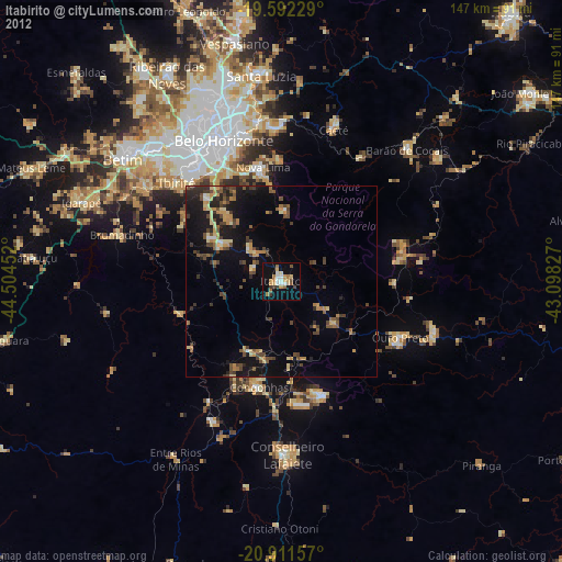
» Earth at Night: Flat Maps 2012, 2016