Ponte Nova night lights from space
Night Light of Ponte Nova (Minas Gerais) from space (Brazil) Src. Average luminocity for 10x10km area is 23.7386% and for 50x50km: 2.5631%.
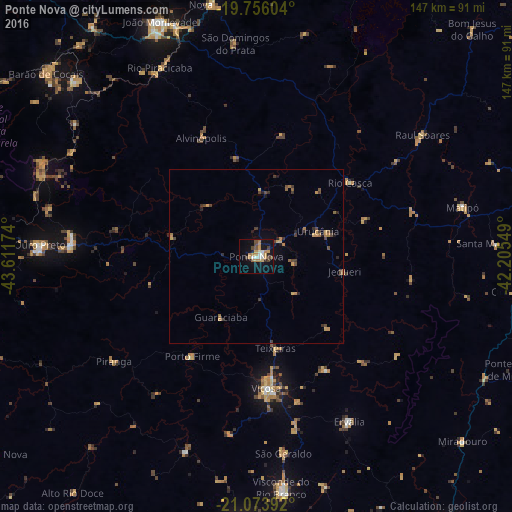
Analysis of Ponte Nova night lights 2016
Square area 10x10 km:
 2.08%
2.08%90-99
3.98%80-89
0.19%70-79
7.95%60-69
3.6%50-59
2.08%40-49
4.36%30-39
1.89%20-29
1.52%10-19
21.4%0-9
50.95%Square area 50x50 km:
0.09%90-99
0.17%80-89
0.09%70-79
0.79%60-69
0.47%50-59
0.28%40-49
0.68%30-39
0.5%20-29
0.42%10-19
1.21%0-9
95.3%Clear (daylight) street map image can be seen on geolist.org.
Map coordinates:
19° 45' 21.7" South, 43° 36' 42.3" West
20° 24' 59" South, 42° 54' 31" West
21° 4' 26.1" South, 42° 12' 19.8" West
Some cities around Ponte Nova sort by population:
• Viçosa
37.6 km =23.4 mi,  175°
175°
• Ouro Preto
62.2 km =38.6 mi,  272°
272°
• Mariana
53.1 km =33 mi, 274°
• Matipó
61 km =37.9 mi,  76°
76°
• Alvinópolis
37.4 km =23.2 mi,  336°
336°
• Rio Casca
34.2 km =21.3 mi,  51°
51°
• Rio Piracicaba
60.9 km =37.8 mi,  332°
332°
• São Domingos do Prata
61.6 km =38.3 mi,  354°
354°
3453078 (p: 48,187)
Sources (retrieved 2019-11-25):
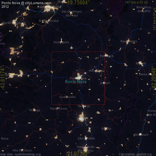
» Earth at Night: Flat Maps 2012, 2016