Ouro Preto night lights from space
Night Light of Ouro Preto (Minas Gerais) from space (Brazil) Src. Average luminocity for 10x10km area is 23.2519% and for 50x50km: 5.7612%.
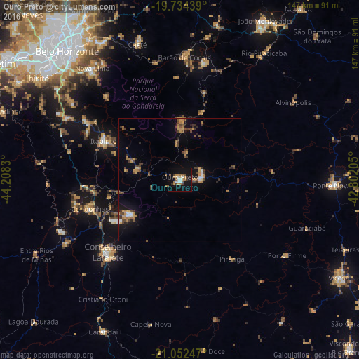
Analysis of Ouro Preto night lights 2016
Square area 10x10 km:
 2.84%
2.84%90-99
2.46%80-89
1.52%70-79
4.17%60-69
4.73%50-59
2.84%40-49
2.08%30-39
2.84%20-29
1.52%10-19
33.52%0-9
41.48%Square area 50x50 km:
0.29%90-99
0.42%80-89
0.3%70-79
1.18%60-69
1.13%50-59
0.79%40-49
1.32%30-39
1.05%20-29
0.67%10-19
4.17%0-9
88.68%Clear (daylight) street map image can be seen on geolist.org.
Map coordinates:
19° 44' 3.8" South, 44° 12' 29.9" West
20° 23' 41.4" South, 43° 30' 18.6" West
21° 3' 8.9" South, 42° 48' 7.4" West
Some cities around Ouro Preto sort by population:
• Conselheiro Lafaiete
41.6 km =25.8 mi,  224°
224°
• Nova Lima
57.8 km =35.9 mi,  321°
321°
• Congonhas
38.8 km =24.1 mi,  251°
251°
• Mariana
9.5 km =5.9 mi,  78°
78°
• Itabirito
34.7 km =21.6 mi,  296°
296°
• Barão de Cocais
50 km =31.1 mi,  2°
2°
• Raposos
56.9 km =35.4 mi,  326°
326°
• Alvinópolis
57.4 km =35.7 mi,  56°
56°
3455671 (p: 63,678)
Sources (retrieved 2019-11-25):
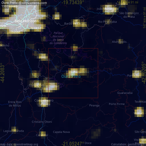
» NASA, Earths city lights 1995
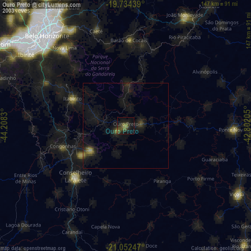
» NASA city lights 2003
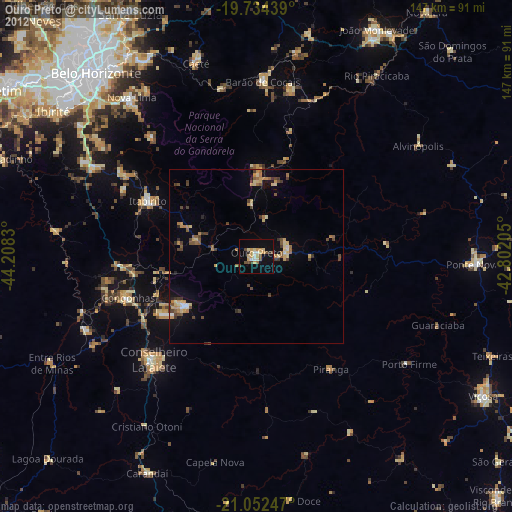
» Earth at Night: Flat Maps 2012, 2016