Congonhas night lights from space
Night Light of Congonhas (Minas Gerais) from space (Brazil) Src. Average luminocity for 10x10km area is 29.0966% and for 50x50km: 9.3878%.
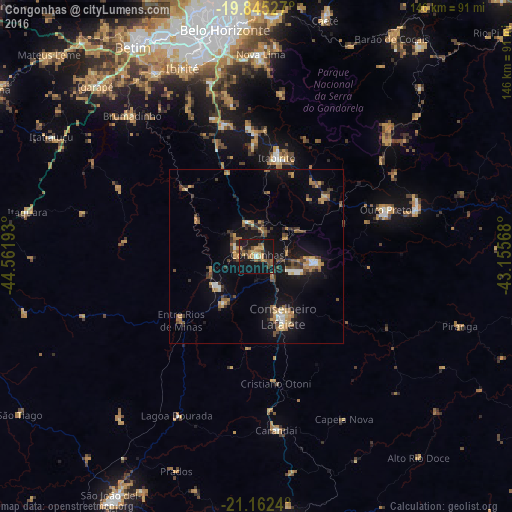
Analysis of Congonhas night lights 2016
Square area 10x10 km:
 0.95%
0.95%90-99
0.57%80-89
3.22%70-79
8.14%60-69
7.39%50-59
3.22%40-49
4.73%30-39
2.08%20-29
6.82%10-19
49.81%0-9
13.07%Square area 50x50 km:
0.49%90-99
0.65%80-89
0.74%70-79
1.89%60-69
1.83%50-59
1.08%40-49
1.91%30-39
1.38%20-29
1.49%10-19
9.39%0-9
79.14%Clear (daylight) street map image can be seen on geolist.org.
Map coordinates:
19° 50' 43" South, 44° 33' 42.9" West
20° 30' 18.9" South, 43° 51' 31.7" West
21° 9' 44.6" South, 43° 9' 20.4" West
Some cities around Congonhas sort by population:
• Ibirité
57.6 km =35.8 mi,  338°
338°
• Conselheiro Lafaiete
18.8 km =11.7 mi,  156°
156°
• Ouro Preto
38.8 km =24.1 mi,  71°
71°
• Mariana
48.3 km =30 mi, 72°
• Itabirito
28.6 km =17.8 mi,  12°
12°
• Brumadinho
53.7 km =33.4 mi,  318°
318°
• Ouro Branco
17.2 km =10.7 mi,  96°
96°
• Carandaí
50.1 km =31.1 mi,  173°
173°
3465671 (p: 48,819)
Sources (retrieved 2019-11-25):
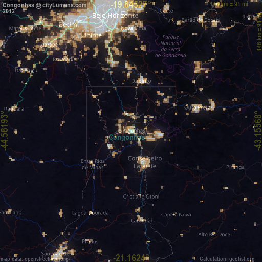
» Earth at Night: Flat Maps 2012, 2016