Ouro Branco night lights from space
Night Light of Ouro Branco (Minas Gerais) from space (Brazil) Src. Average luminocity for 10x10km area is 28.0682% and for 50x50km: 9.0631%.
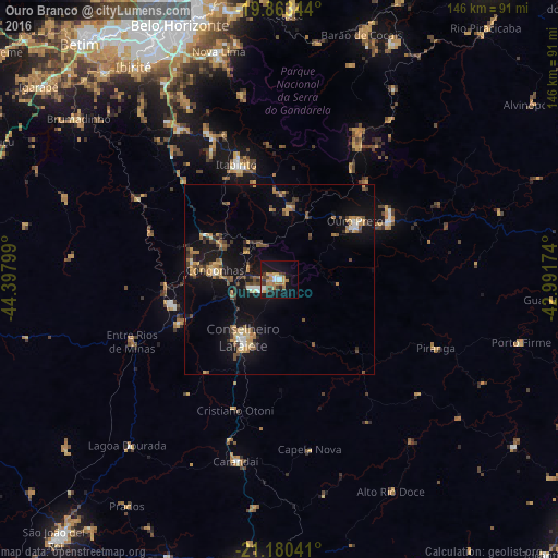
Analysis of Ouro Branco night lights 2016
Square area 10x10 km:
 2.46%
2.46%90-99
4.36%80-89
1.33%70-79
7.01%60-69
5.68%50-59
1.7%40-49
6.25%30-39
3.03%20-29
3.22%10-19
31.25%0-9
33.71%Square area 50x50 km:
0.53%90-99
0.62%80-89
0.69%70-79
1.82%60-69
1.8%50-59
1.05%40-49
1.75%30-39
1.24%20-29
1.33%10-19
10.19%0-9
78.98%Clear (daylight) street map image can be seen on geolist.org.
Map coordinates:
19° 51' 48.4" South, 44° 23' 52.8" West
20° 31' 24" South, 43° 41' 41.5" West
21° 10' 49.5" South, 42° 59' 30.3" West
Some cities around Ouro Branco sort by population:
• Conselheiro Lafaiete
17.9 km =11.1 mi,  211°
211°
• Nova Lima
61.9 km =38.5 mi,  345°
345°
• Congonhas
17.2 km =10.7 mi,  276°
276°
• Mariana
33.2 km =20.6 mi,  60°
60°
• Itabirito
32 km =19.9 mi,  339°
339°
• Brumadinho
67.5 km =41.9 mi,  308°
308°
• Carandaí
49.2 km =30.6 mi,  193°
193°
• Raposos
62.9 km =39.1 mi, 349°
3455689 (p: 26,687)
Sources (retrieved 2019-11-25):
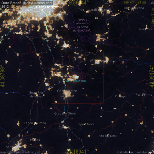
» Earth at Night: Flat Maps 2012, 2016