Ladário night lights from space
Night Light of Ladário (Mato Grosso do Sul) from space (Brazil) Src. Average luminocity for 10x10km area is 33.5% and for 50x50km: 4.1632%.
Analysis of Ladário night lights 2016
Square area 10x10 km:
 7.14%
7.14%90-99
4.11%80-89
5.41%70-79
3.03%60-69
6.28%50-59
2.6%40-49
5.84%30-39
2.6%20-29
5.84%10-19
25.97%0-9
31.17%Square area 50x50 km:
0.52%90-99
0.5%80-89
0.89%70-79
0.45%60-69
0.52%50-59
0.25%40-49
0.65%30-39
0.36%20-29
1.03%10-19
3.47%0-9
91.35%Clear (daylight) street map image can be seen on geolist.org.
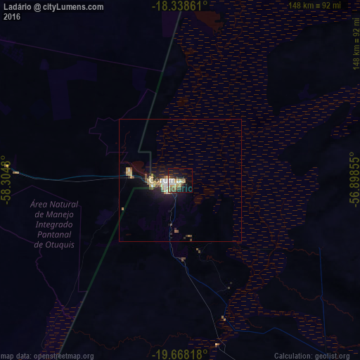
Map coordinates:
18° 20' 19" South, 58° 18' 17.3" West
19° 0' 17" South, 57° 36' 6" West
19° 40' 5.4" South, 56° 53' 54.8" West
Some cities around Ladário sort by population:
• Corumbá
5.5 km =3.4 mi,  264°
264°
• Aquidauana
250.3 km =155.5 mi,  130°
130°
• Anastácio
249.6 km =155.1 mi, 131°
• Bonito
262.8 km =163.3 mi,  153°
153°
• Miranda
187.9 km =116.8 mi,  137°
137°
• Puerto Quijarro, BO
136.9 km =85.1 mi,  352°
352°
• Roboré, BO
239.4 km =148.8 mi,  288°
288°
• Fuerte Olimpo, PY
228.2 km =141.8 mi,  187°
187°
3459352 (p: 15,790)
Sources (retrieved 2019-11-25):
» Earth at Night: Flat Maps 2012, 2016