Corumbá night lights from space
Night Light of Corumbá (Mato Grosso do Sul) from space (Brazil) Src. Average luminocity for 10x10km area is 52.2143% and for 50x50km: 4.1778%.
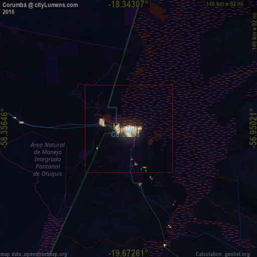
Analysis of Corumbá night lights 2016
Square area 10x10 km:
 12.34%
90-99
10.17%80-89
10.39%70-79
4.11%60-69
6.28%50-59
3.25%40-49
6.71%30-39
4.98%20-29
17.97%10-19
23.59%0-9
0.22%Square area 50x50 km:
0.52%90-99
0.5%80-89
0.89%70-79
0.45%60-69
0.52%50-59
0.25%40-49
0.66%30-39
0.37%20-29
1.03%10-19
3.47%0-9
91.33%Clear (daylight) street map image can be seen on geolist.org.
Map coordinates:
18° 20' 35.1" South, 58° 21' 23.3" West
19° 0' 33" South, 57° 39' 12" West
19° 40' 21.4" South, 56° 57' 0.8" West
Some cities around Corumbá sort by population:
• Aquidauana
254.1 km =157.9 mi,  129°
129°
• Anastácio
253.4 km =157.5 mi, 130°
• Ladário
5.5 km =3.4 mi,  84°
84°
• Bonito
264.8 km =164.5 mi,  152°
152°
• Miranda
191.2 km =118.8 mi,  135°
135°
• Puerto Quijarro, BO
136.8 km =85 mi,  354°
354°
• Roboré, BO
234.4 km =145.6 mi,  288°
288°
• Fuerte Olimpo, PY
227.1 km =141.1 mi,  185°
185°
3465342 (p: 96,520)
Sources (retrieved 2019-11-25):
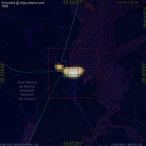
» NASA, Earths city lights 1995
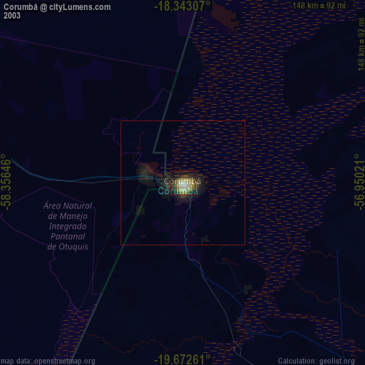
» NASA city lights 2003
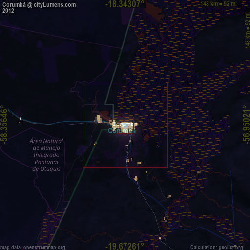
» Earth at Night: Flat Maps 2012, 2016