Puerto Quijarro night lights from space
Night Light of Puerto Quijarro (Santa Cruz) from space (Bolivia) Src. Average luminocity for 10x10km area is 0% and for 50x50km: 0%.
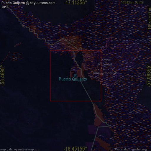
Analysis of Puerto Quijarro night lights 2016
Square area 10x10 km:
 0%
0%90-99
0%80-89
0%70-79
0%60-69
0%50-59
0%40-49
0%30-39
0%20-29
0%10-19
0%0-9
100%Square area 50x50 km:
0%90-99
0%80-89
0%70-79
0%60-69
0%50-59
0%40-49
0%30-39
0%20-29
0%10-19
0%0-9
100%Clear (daylight) street map image can be seen on geolist.org.
Map coordinates:
17° 6' 45.2" South, 58° 28' 11.3" West
17° 46' 60" South, 57° 46' 0" West
18° 27' 5.7" South, 57° 3' 48.8" West
Some cities around Puerto Quijarro sort by population:
• Várzea Grande, BR
294.5 km =183 mi,  36°
36°
• Corumbá, BR
136.8 km =85 mi,  174°
174°
• Lucas, BR
252.9 km =157.1 mi,  50°
50°
• Poconé, BR
208.8 km =129.7 mi, 35°
• Ladário, BR
136.9 km =85.1 mi, 172°
• Roboré
219.6 km =136.5 mi,  253°
253°
• Santo Antônio do Leverger, BR
279 km =173.4 mi, 40°
• San Matías
171.3 km =106.4 mi,  336°
336°
3444201 (p: 10,392)
Sources (retrieved 2019-11-25):
» Earth at Night: Flat Maps 2012, 2016