Fuerte Olimpo night lights from space
Night Light of Fuerte Olimpo (Alto Paraguay) from space (Paraguay) Src. Average luminocity for 10x10km area is 2.6171% and for 50x50km: 0.1063%.
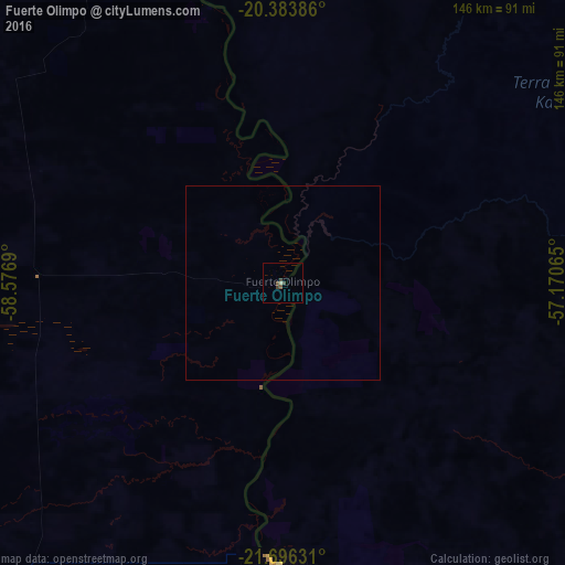
Analysis of Fuerte Olimpo night lights 2016
Square area 10x10 km:
 0%
0%90-99
0.4%80-89
0.4%70-79
0%60-69
0%50-59
0.6%40-49
1.79%30-39
1.59%20-29
0%10-19
0%0-9
95.24%Square area 50x50 km:
0%90-99
0.02%80-89
0.02%70-79
0%60-69
0%50-59
0.02%40-49
0.07%30-39
0.06%20-29
0%10-19
0%0-9
99.81%Clear (daylight) street map image can be seen on geolist.org.
Map coordinates:
20° 23' 1.9" South, 58° 34' 36.8" West
21° 2' 29.5" South, 57° 52' 25.6" West
21° 41' 46.7" South, 57° 10' 14.3" West
Some cities around Fuerte Olimpo sort by population:
• Jardim, BR
186.4 km =115.8 mi,  105°
105°
• Anastácio, BR
223.7 km =139 mi,  73°
73°
• Bela Vista, BR
183.4 km =114 mi,  130°
130°
• Bonito, BR
144.7 km =89.9 mi,  93°
93°
• Miranda, BR
179.3 km =111.4 mi,  60°
60°
• Porto Murtinho, BR
73.1 km =45.4 mi,  180°
180°
• Guia Lopes da Laguna, BR
188.1 km =116.9 mi,  104°
104°
• Bella Vista
185.5 km =115.3 mi, 130°
3438102 (p: 2,475)
Sources (retrieved 2019-11-25):
» Earth at Night: Flat Maps 2012, 2016